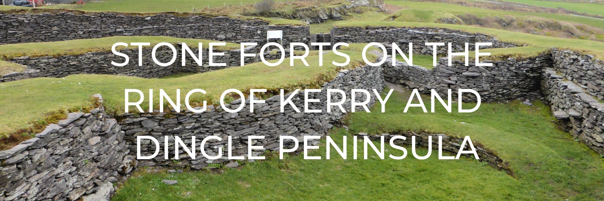
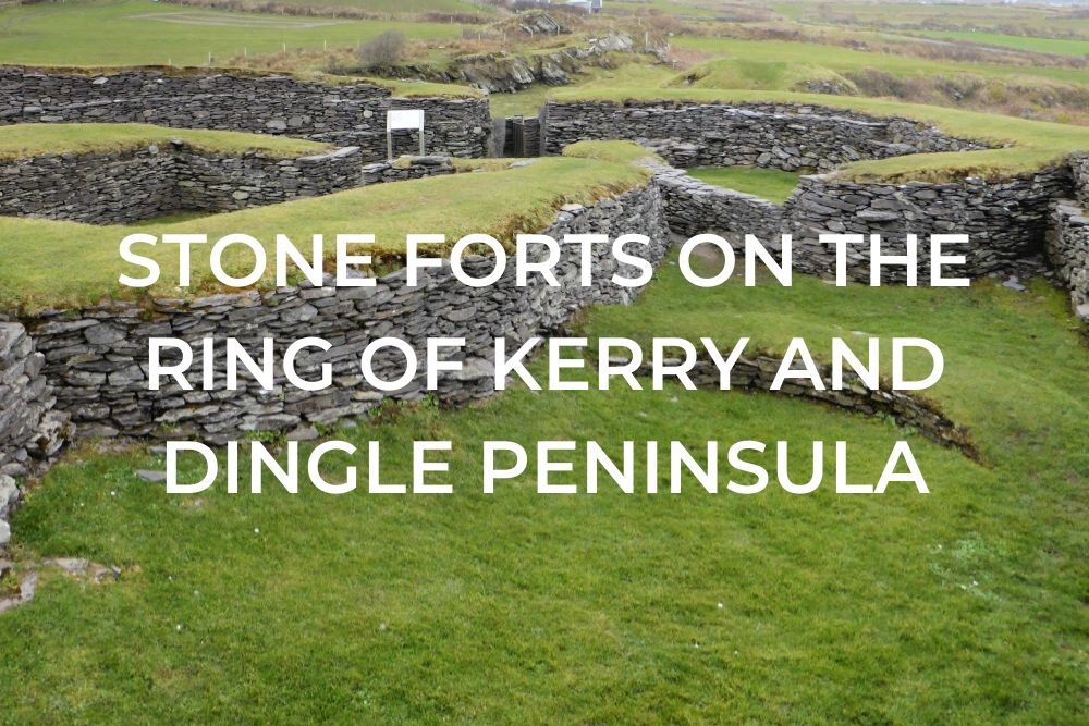
Would you like to go way, way, way back in history to visit some incredible archaeological remains? If so the ringforts of Ireland might be for you.
It is thought that there were about 50,000 of ringforts at one time in Ireland, though many of those have been destroyed by farming and urbanisation. But have no fear, incredibly there are still about 40,000 sites in Ireland identified as ringforts so your chances of seeing one on a trip to Ireland are pretty high, especially if you put them on your Ireland road trip itinerary as we did.
Want to save this for later? Click the Pinterest button on the left for a pinnable image!
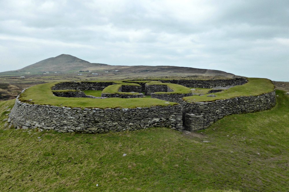
WHAT ARE RING FORTS?
Built mainly during the Early Middle Ages through to 1000 AD, ringforts are circular fortified settlements that were made of earth or stone. On our trip, we visited several examples of the stone forts that are believed to have been used for various purposes.
Many sources point to their use in agriculture with families building a farmstead inside them, likely even enclosing their livestock within. The presence of pottery found in some stone forts points to their use as trading sites with the continent whereby high-status goods were brought into the Irish economy. With the name ‘fort’ it can be inferred they were also used for defensive purposes though perhaps not so much from battles but from cattle raids instead. And finally, just like today, people liked to try and impress other people so these forts were built to outwardly show off their status in keeping with the hierarchical structure of early medieval Irish society. The more elaborate the fort (with multiple outlying banks and such), the higher the status of the occupants.
In addition to the visible walls above ground, these stone forts were also likely to have souterrains which are underground passages or chambers. These would have required considerable engineering skills to construct them but were worth the effort as they provided hiding spots and escape routes if attacked, as well as a place to conceal valuables and provide storage.
Not surprisingly we didn’t get to visit all 40,000 ish of these forts around Ireland, but we did put several on our itinerary along the Ring of Kerry and Dingle Peninsula either due to their large size or the prominent location.
STAIGUE STONE FORT
One of the largest and finest stone forts in Ireland, Staigue Fort was likely built in the early centuries AD before Christianity came to Ireland.
With a view of Kenmare Bay, it’s thought to be the home of a wealthy landowner or chieftain with a great need for security. It would have been full of houses, outbuildings, and possibly tents and other temporary structures.
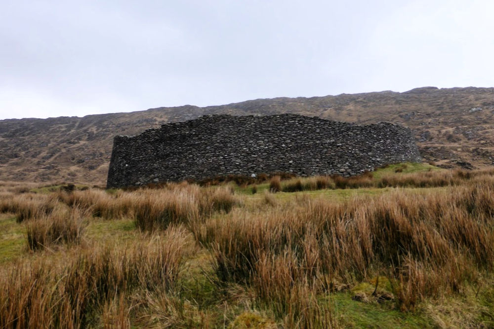
Built using a technique that has been a tradition for a long time in Ireland, the whole structure is built with interlocking stones but no mortar…and it’s still standing and stable! What an incredible feat by these people from so long ago.
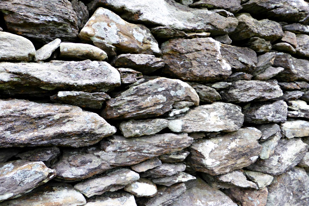
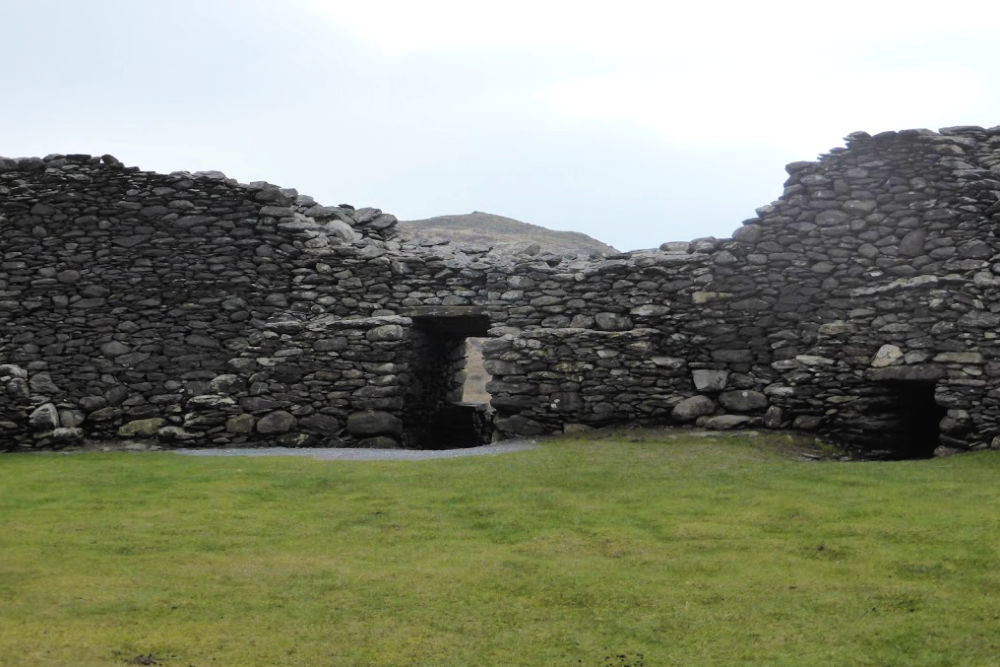
The circular structure has walls up to six metres high and four metres thick and encloses an area about thirty metres in diameter. There are ten flights of stairs built in an X shape that gives access to the top where you can look out over the walls to the fields beyond.
Although no buildings survive within the circle today, there are two small chambers contained within the walls themselves that visitors can tuck in to. Lee gave that a go but I opted to enjoy the view and the babbling creek beside the fort, instead of crawling into such a cramped space.
PLAN YOUR VISIT
LOCATION: 4km (2.5 miles) off N70 just outside Castlecove on a small farm road. It is signposted so look for these to help you find it.
ADMISSION: The fort is on private land and there is a sign at the entrance requesting visitors pay a “Land Trespass” charge. At the time of our visit (March
LENGTH OF VISIT: About 20 minutes is enough to wander around this site.
AMENITIES: At the site, there is only a small parking lot, however on the road on the way to the site there is a visitor centre with films and a café.
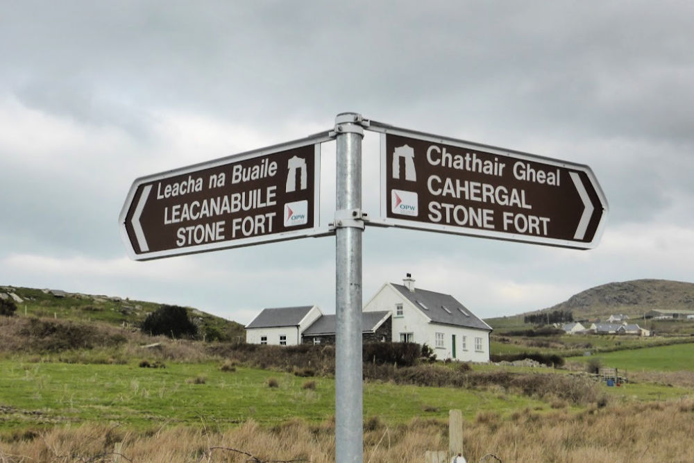
LEACANABUILE AND CAHERGAL STONE FORTS
Continuing along the Ring of Kerry we came to our next set of stone forts set just off the road in Cahirciveen, or as known to the locals ‘over the water’. There is a little parking area along the side of the road and these two forts are free to enter. And if you come in March you’ll likely have them just about all to yourself, except for the fluffy sheep grazing along the slopes of the hills beside the forts.
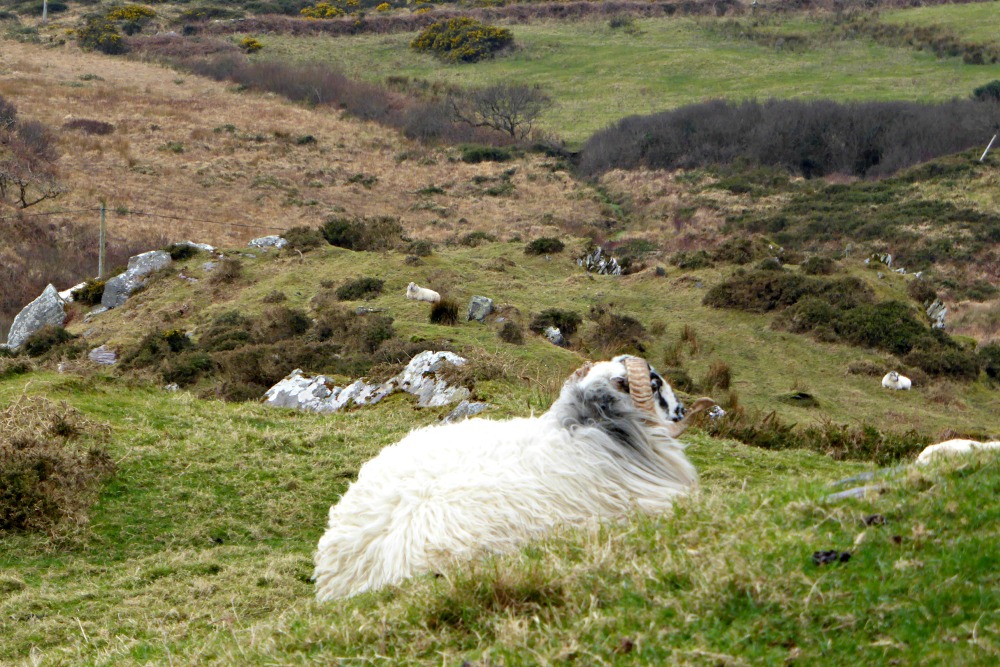
At the fork in the lane, we opted to walk to the left first which led us to the Leacanabuile Fort, the more impressive of the two in my opinion. This fort was built on a hillside and is protected on three sides by steep grassy slopes, and maybe a few ornery sheep. One, in particular, seemed to be giving me the stink eye so I opted to give him a wide berth and pretend like I wasn’t taking his photo at all.

This stone fort was built in the 9th or 10th century as the protected farmstead of another wealthy landowner. The circular wall is more than three metres thick and was built by making two strong wall faces and then filling the space between them with smaller stones. As in Staigue Fort, there are also stairs on the insides of the walls to give access to the top and a view across the countryside.
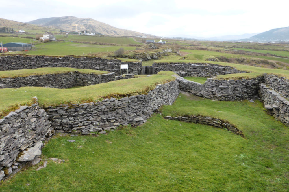
Inside the walls are the remnants of the one surviving roundhouse that is attached to a later built square house. Inside the roundhouse is an entrance to a souterrain which leads to an opening in the enclosing wall.
Excavations done inside the fort found items such as iron knives, whetstones to sharpen them with, pins and bone hair-combs, and mill-stones for grinding wheat or barley into flour. Such objects suggest the existence of an early Christian farming community in this area.
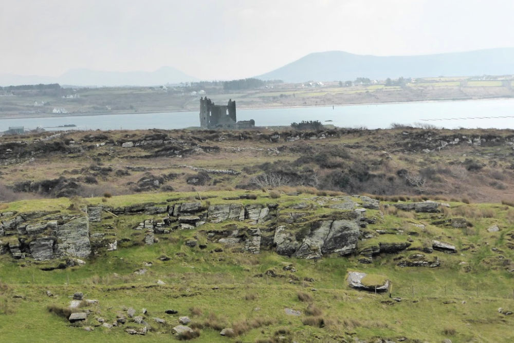
From here we ventured back towards the main road and then headed up the path in the other direction toward the Cahergal Stone Fort. Recently reconstructed, this fort was built much closer than the other to Ballycarbery Castle of which we could see the ruins of off in the distance.
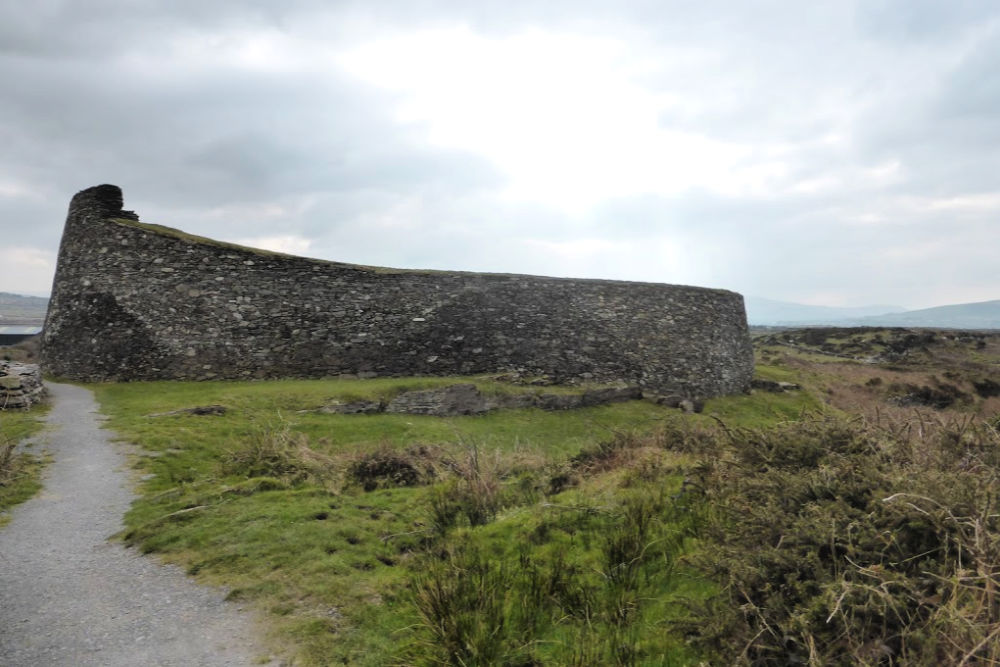
The walls are about six metres high and three metres thick, which Lee quickly climbed to get a view of the surrounding area. Me, well, I’m a bit of a clutz so opted to stay firmly on the ground instead and wandered around the inside of the walls exploring the remains of the large circular dry-stone building. It is quite likely that someone of importance lived here about 1,000 years ago. Hmm…I wonder whose footsteps we were walking in.
PLAN YOUR VISIT
LOCATION: Approximately 3.5 km west of Cahersiveen. From Cahersiveen, turn off the Wild Atlantic Way and follow Bridge Street. Pass the barracks and follow the road over the bridge. Turn left at the T-junction and in about 2 km you will reach a small parking area. From here you can walk to both forts.
ADMISSION: Both forts are free to visit.
LENGTH OF VISIT: Allow about 60 minutes to visit both sites to give time to wander around each one and the walk between then and to the parking area.
AMENITIES: There is a small parking lot that both sites share.
Reviews of Leacanabuaile Stone Fort | Reviews of Cahergal Stone Fort
DUNBEG STONE FORT
Our final stone fort of the day was along our route further on the Slea Head Drive on the Dingle Peninsula and won my prize for the best location by far.
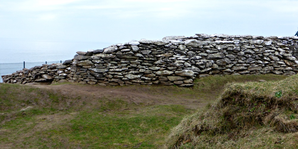
Best in terms of the view, but unfortunately the worst in terms of the survival of the fort itself as it is perched precariously on the edge of the craggy cliffs of the Atlantic Ocean. Coastal erosion and storms have taken their toll and quite a bit of damage has been done. On our visit, we couldn’t go inside but we were able to wander around the perimeter to get a peek and then these views…
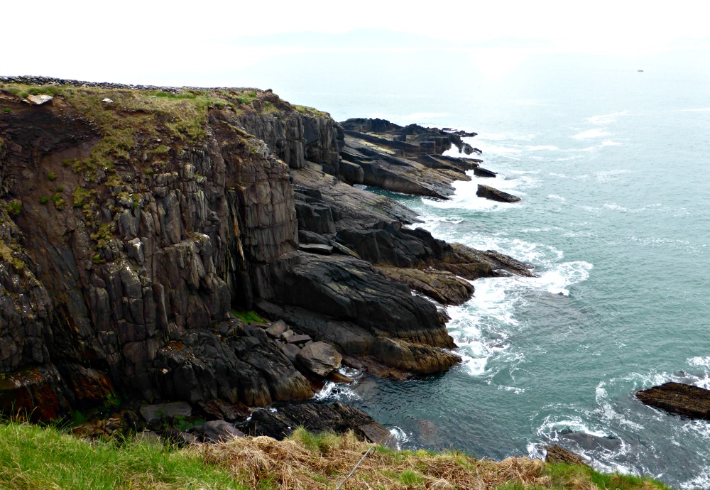
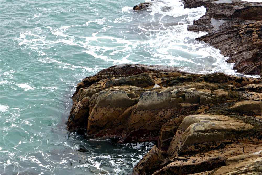
I was tempted to stay here for hours listening to the waves crashing against the rocks. Absolutely beautiful.
Primarily occupied between the 8th and 11th centuries AD, the interior of the fort contains the remains of a large stone house and a souterrain that leads to one of the earthen defences surrounding it. In all, there are four fosses (ditches) and five mounds that make up the fort. It is believed there were more structures inside at one time but they have been lost in storms or due to the cliff collapsing.
PLAN YOUR VISIT
UPDATE: Since we visited and this post was originally published, the site is now closed to visitors due to storm damage. For more information click here.
Want to save this for later? Click the Pinterest button on the left for a pinnable image!
RESOURCES | PLAN YOUR TRIP TO IRELAND
To book flights, rental cars, accommodations, and activities for your trip, please check out our recommended travel providers, favourite apps and websites.
- Ireland’s Best-Loved Driving Tours: Includes 25 driving itineraries all over Ireland including “Beehive Huts & Coastal Splendours” around the Dingle Peninsula and “Killarney & the Ring of Kerry”.
- Fodor’s Exploring Ireland: Includes “The Grandeur of the Dingle Peninsula” and “The Spectacular Ring of Kerry” driving routes.
- Rick Steves’ ‘The Best of West Ireland: Dingle, Galway, and the Aran Islands‘ and ‘South Ireland: Waterford to the Ring of Kerry‘ episode of
TV show (whole episode) - Rick Steves Audio Europe App: With this
app you can listen to many excerpts from his radio shows and books. He has several that mention the Dingle Peninsula.
These are a few tours we would recommend for your trip to Ireland.
Some of the links in the post above are affiliate links. This means if you click on the link and purchase the item, we will receive an affiliate commission but this does not affect the price to you. Please read our full disclosure policy here.
