Photo Credit: Tourism Nova Scotia / Photographer: Patrick Rojo

Photo Credit: Tourism Nova Scotia / Photographer: Patrick Rojo
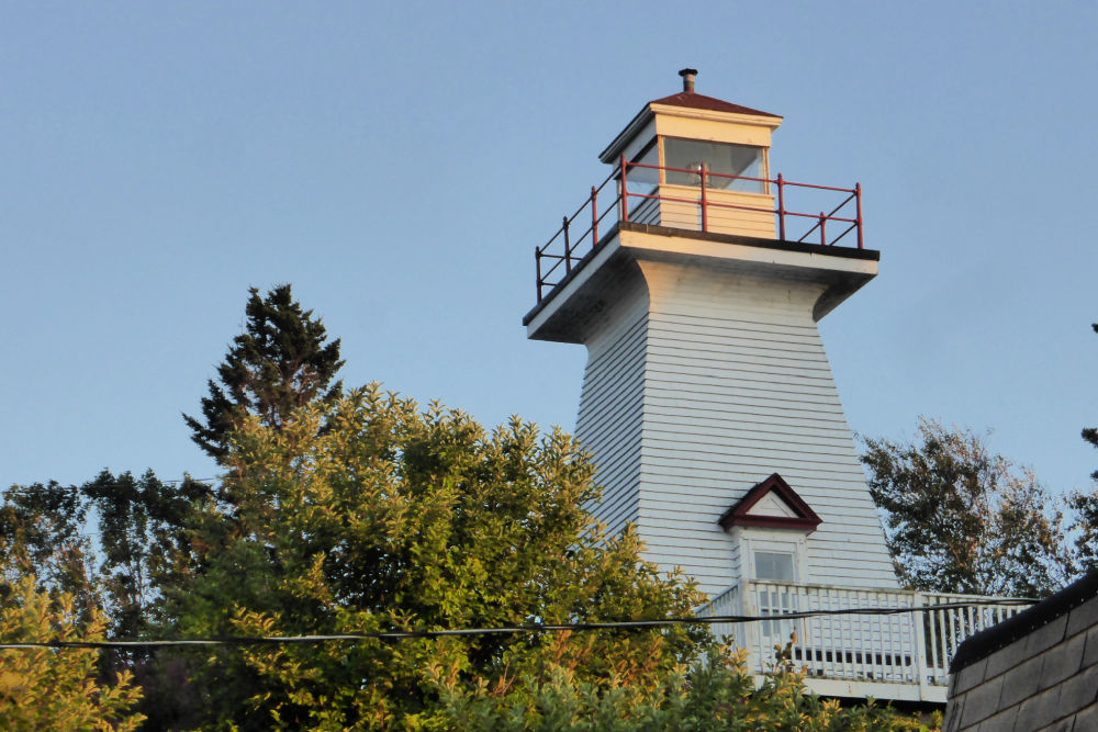
Nova Scotia may be the second smallest province of Canada geographically, but it is BIG on lighthouses, many of which are famous around the world. All told there are about 150 lighthouses scattered along the thousands of kilometres of ragged Nova Scotia coastline which likely isn’t surprising considering the province’s rich fishing and shipping history.
Lighthouses are unique structures that have saved countless lives and are full of history. No two lighthouse are painted the same nor do they have the same flashing light pattern – all to help with navigation. Each lighthouse was marked on the charts ship captains carried with them so if they lost their way they could tell where they were by the way the lighthouse was painted, or at night by the flashing of the light.
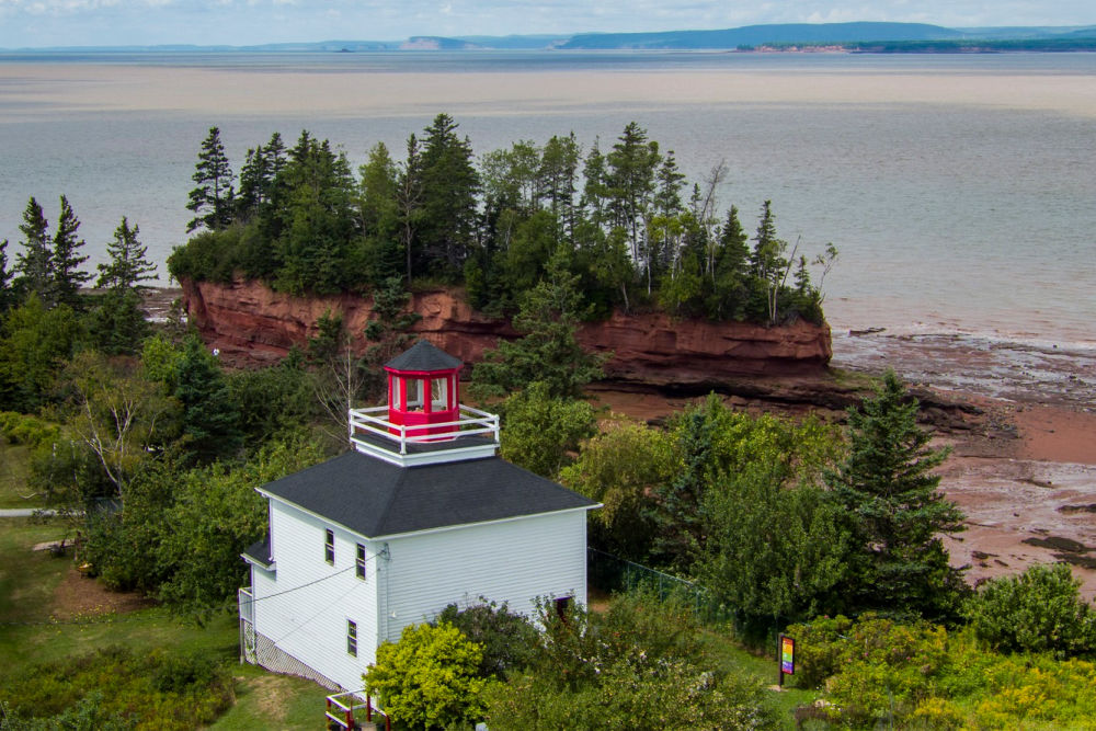
Photo Credit: Tourism Nova Scotia
This post may contain affiliate links. Please read our full disclosure policy here.
When lighthouses first came on the scene they tended to be made of wood. Combine this with the beacons being lit by oil, and tragically several of the original lighthouses of Nova Scotia have been destroyed by fire. Many of these have been rebuilt and are still wonderful to visit to see all of their unique designs. Whether they are tall thin needles to squat houses, lighthouses come in every shape and size and are sure to brighten your day.
Our goal is to visit each and every lighthouse in the Bay of Fundy and Annapolis Valley region, and then the whole province! As we do, we’ll update this article with photos, history, and any tips we learn as we explore each lighthouse. To date, we’ve visited ten of the lighthouses in this region but there are several more you can visit, which we have also listed at the end of the article. Please let us know if you’ve visited any of the lighthouses and, if so, which one should we visit next?
A map showing the location of each of the lighthouses featured in this article can be found at the end.
TABLE OF CONTENTS
LIGHTHOUSES OF THE BAY OF FUNDY AND ANNAPOLIS VALLEY REGION
- Annapolis Lighthouse
- Brier Island Lighthouse
- Digby Pier Lighthouse
- Gilbert’s Cove Lighthouse
- Grand Passage Lighthouse
- Hampton Lighthouse
- Margaretsville Lighthouse
- Peter’s Island Lighthouse
- Point Prim Lighthouse
- Port George Lighthouse
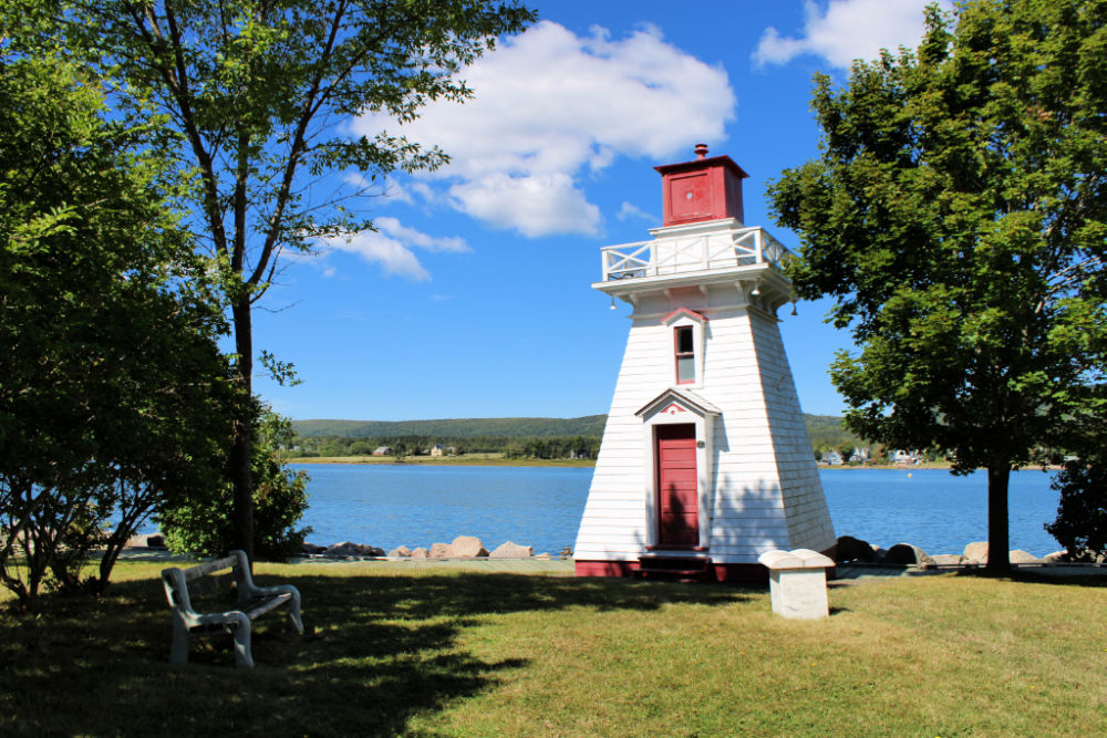
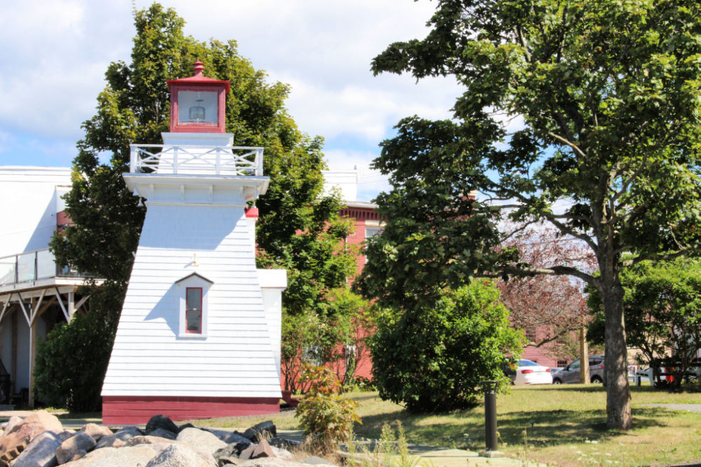
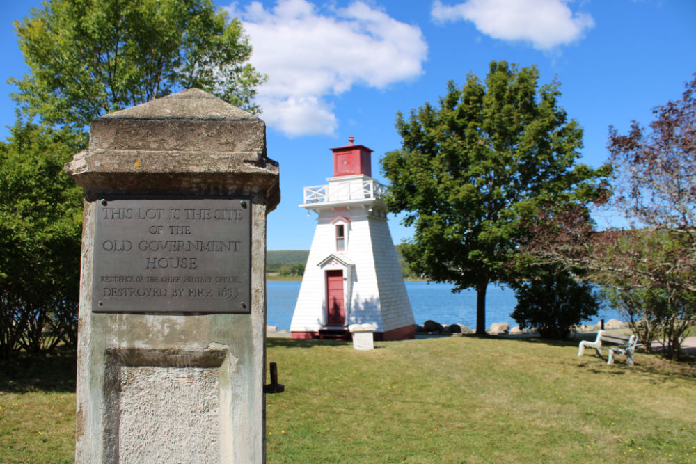
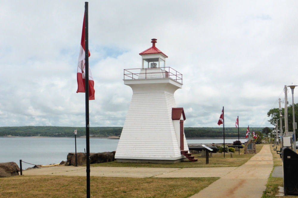
Built in 1889 on the site of the old Government House (which had burned down in 1833), the Annapolis Lighthouse is a tapered square wooden tower with a red lantern light perched on the water’s edge on St. George Street. It marks the pretty, historic town of Annapolis Royal, and signals the end of navigable waters for vessels on the Annapolis River.
The town of Annapolis Royal was founded by the French in 1630 and served as the capital of Nova Scotia until Halifax was founded in 1749, so it is no wonder there are so many heritage buildings, including the lighthouse, in the town.
In days gone by, the Annapolis waterfront was quite busy, especially in the days of the steamer, City of Monticello, that transported passengers between Saint John, NB and the Windsor and Annapolis Railways that serviced the wharf in the Annapolis harbour. Vessels used to also sail farther up the Annapolis River, but since 1984 that hasn’t been possible due to the Annapolis River Tidal Power Generating Station near the town.
In 2004 the lighthouse was purchased by the Historical Association of Annapolis Royal and they continue to manage it. In 2015 the lighthouse won $40,000 in the National Trust Lighthouse Matters competition, and those funds were put to use for restoration.
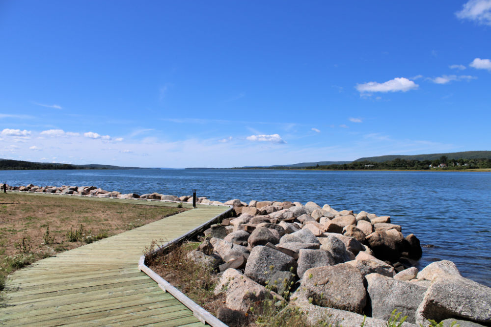
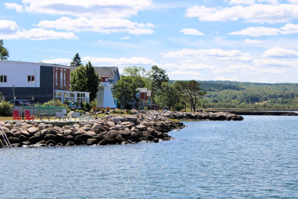
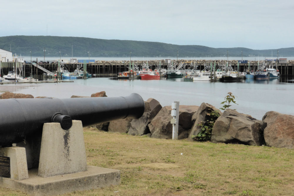
Today Annapolis Lighthouse continues to be a functioning lighthouse with a heat-sensor light that comes on at night and goes off during the day. It serves as a visitor centre and the headquarters for the award-winning National Historic District and Acadian Heritage tours. It is on the boardwalk along the Annapolis Royal waterfront and we’d recommend taking a couple of hours to stroll around this area, relax in some of the chairs looking out across the river, or wander along the street visiting some of the shops and restaurants.
OPENING HOURS AND ADMISSION PRICES
The Annapolis Lighthouse tower isn’t open to visitors but you may stroll around the site at your leisure.
GETTING THERE AND PARKING
Annapolis Lighthouse is located at 247 St. George Street, Annapolis Royal, Nova Scotia, B0S 1A0.
You can access the lighthouse by car and parking can be found either along the street or in a small parking lot at the corner of St. George and St. James streets which is a short (about 3-minute) walk from the lighthouse.
ANNAPOLIS LIGHTHOUSE GALLERY
Images in the gallery are of the lighthouse and the surrounding area.
Click on the images to enlarge them, scroll through the gallery, or for more information.
QUICK FACTS
Height: Tower 8.5m (28ft) | Light 9.1m (30ft)
County: Annapolis
Body of Water: Annapolis River
Scenic Route: Evangeline Trail
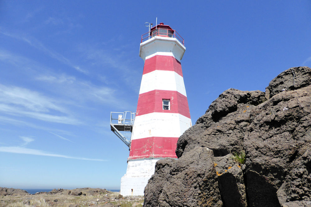
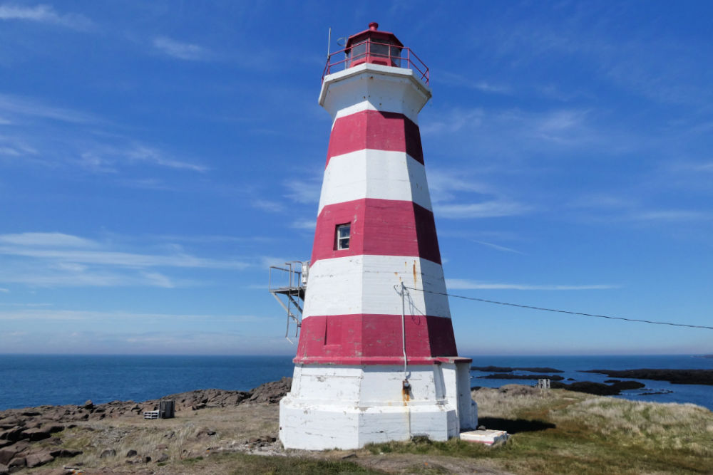
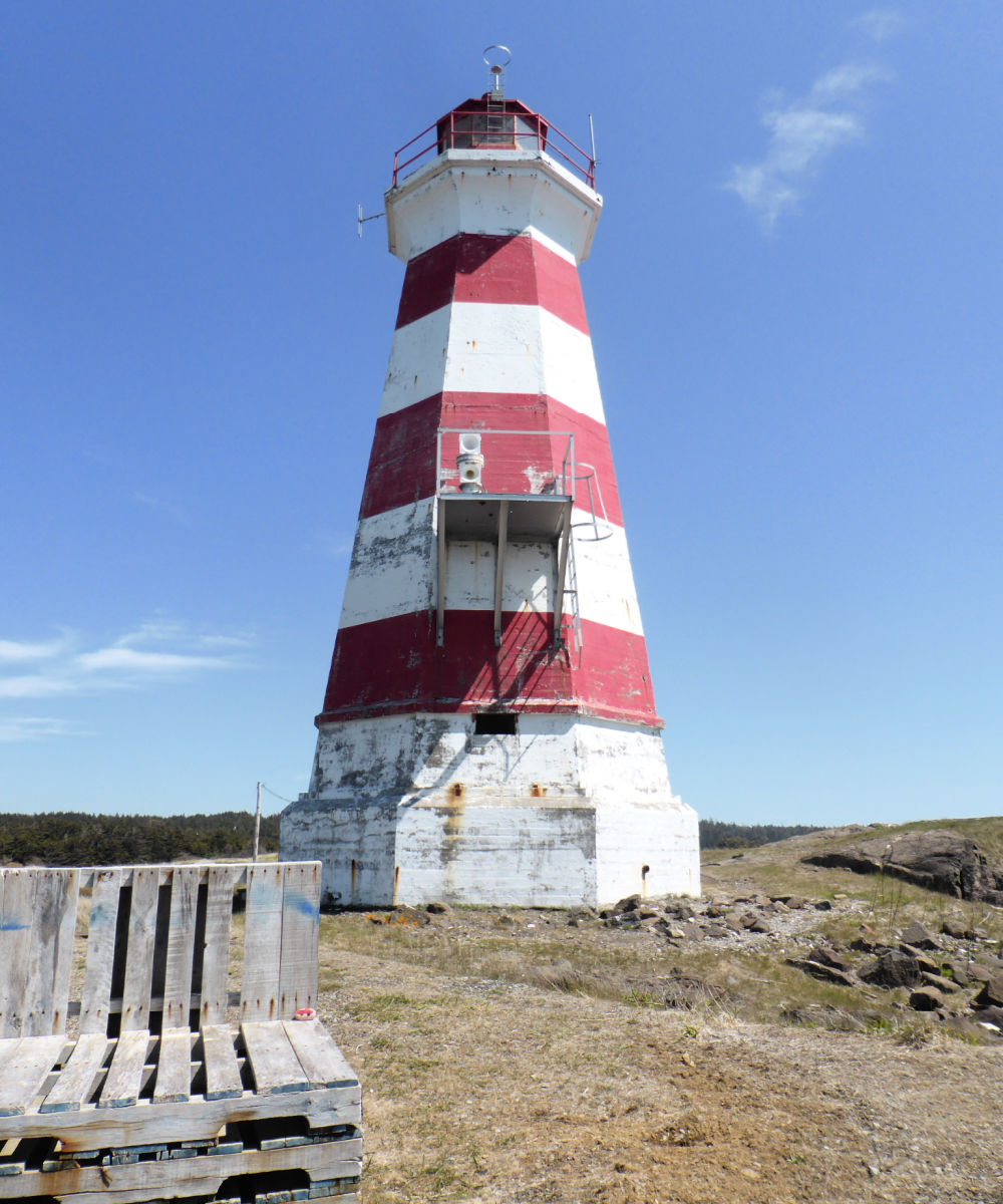
On the southwest side of Brier Island, you’ll find one of the most photogenic lighthouses in Nova Scotia, the Brier Island Lighthouse. Although not the original lighthouse from 1809, the current lighthouse stands on the site of the first lighthouse and still warns sailors of a severe rip tide at the southern entrance to the Bay of Fundy.
In the early 1800s, the House of Assembly stated, “That the establishment of a lighthouse on Brier Island at the north-west entrance of St. Mary’s Bay, would be of the highest utility to the navigation of the Bay of Fundy, and equally beneficial to the trade of this Province and that of the Province of New Brunswick.” In 1806, £500 was requested to build a stone lighthouse, but only £200 was approved by Nova Scotia. Fortunately, New Brunswick also contributed £200 to help with construction and maintenance. Unfortunately, however, in 1818 the lighthouse was said to be “so vilely constructed and ill-lighted” that it was deemed a hazard and by 1820 the contributions from New Brunswick ceased.
The lighthouse was rebuilt in 1832 as an octagonal wooden tower but was destroyed in 1944 by the same fate as so many other lighthouses of that time – fire. It was then replaced with a concrete tower, painted with the same pattern of three red bands on a white background. This is the lighthouse that still stands today, alongside a fog-signal building.
For several decades in the 1800s, Brier Island Lighthouse was also known locally as the West Light or Southwest Light. From 1820 to 1867, it was tended by lightkeeper John Suthern who severed in Admiral Nelson’s fleet during the Battle of Trafalgar. He was granted the position as a keeper as a pensioner for his service in the Royal Navy and he served until his death.
While you can’t enter the lighthouse tower today, the grounds around it are open for exploring and it is a good spot for relaxing by the sea, having a picnic, and watching for whales, seals, and seabirds. We felt like we were the only people around for miles and really enjoyed our peaceful, quiet visit.
OPENING HOURS AND ADMISSION PRICES
The Brier Island Lighthouse tower isn’t open to visitors but you may stroll around the site at your leisure.
GETTING THERE AND PARKING
Brier Island Lighthouse is located at 720 Lighthouse Road, Brier Island, Nova Scotia, B0V 1A0.
To get there, turn left when you disembark from the ferry in Westport and then turn right on Wellington Street. From there turn left onto Lighthouse Road, which is an unpaved road, and follow it to the lighthouse. The road can be rough in places but if you go slowly and pay attention to ruts it is accessible by car.
There are a couple of small parking areas by the lighthouse, both of which are free. One is to the left of the lighthouse and the other is just a short distance before the lighthouse with a small uphill walk to the light.
BRIER ISLAND LIGHTHOUSE GALLERY
Images in the gallery are of the lighthouse and the surrounding area.
Click on the images to enlarge them, scroll through the gallery, or for more information.
QUICK FACTS
Height: Tower 18.2 m (60ft) | Light 28.95 m (95ft)
County: Digby
Body of Water: Bay of Fundy
Scenic Route: Evangeline Trail
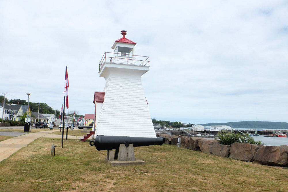
Though it may be small, the current Digby Pier lighthouse is still a big improvement over the original light to mark the pier. Established in 1887, the first light here was a simple red-light lantern on a pole!
In the early 1900s, it was decided a lighthouse was in order and an enclosed wooden tower was erected at the outer end of the government pier to replace the mast light. It began its operation in June of 1903.
The lighthouse operated for a great many years until the Digby ferry terminal was relocated to its current location on Shore Road in 1971 and the pier fell into disrepair and was deemed unsafe. The lighthouse was decommissioned and moved to the Saint John Coast Guard Base, across the Bay in New Brunswick, as they had responsibility for all the lighthouses on the Bay of Fundy.
In 1983, the lighthouse was put back to work, but this time in the city of Saint John. It was added to their new Market Slip area on the waterfront and used as an information and ticket kiosk for visitors to the city.
In 2012, with plans in the works to create a new breakwater and redevelop some of the town’s harbour, the Mayor of Digby, Ben Cleveland, thought it would be appropriate for the old Digby Pier Lighthouse to mark the pier. “It’s known as the Digby lighthouse in Saint John, so why not put it back in Digby?“, said Cleveland, and he put in a formal request with the city of Saint John. On October 19th, 2012, the Mayor and a delegation of 30 Digby residents, together with 230 lbs of famous Digby scallops made the trip across the Bay of Fundy to bring their lighthouse home.
Upon its return, it was discovered the lighthouse was in need of more renovations than originally thought but by luck, the National Trust of Canada opened a campaign called “This Lighthouse Matters”. The Digby Tourism Association took the lead to enter the lighthouse in the competition and, together with the community, ran a campaign for votes for their lighthouse. The Digby Pier Lighthouse won first place in its category with 219,000 votes that came in from all over the world to help fund the much-needed restoration work.
The Digby Pier Lighthouse now serves as a beacon standing proudly on the Digby waterfront once more.
When visiting Digby, and strolling along the waterfront, we’d recommend stopping at “The Crow’s Nest” for their absolutely delicious seafood chowder. It’s full of Digby’s famous scallops, along with other fish and potatoes and is one of my must-have dishes in Digby (a photo is included in the gallery). If you’re not a fan of scallops, but would still like to have some seafood, their fish and chips are another favourite of ours.
OPENING HOURS AND ADMISSION PRICES
The Digby Pier Lighthouse tower isn’t open to visitors, but you may stroll along the Digby waterfront or around the shops and restaurants on Water Street.
GETTING THERE AND PARKING
Digby Pier Lighthouse is located on the waterfront green area at the intersection of Water Street and Church Street, Digby, Nova Scotia, B0S 1A0.
The lighthouse is easily accessible by car as it is on one of the main streets in Digby and there is lots of free on-street parking available along this street.
DIGBY PIER LIGHTHOUSE GALLERY
Images in the gallery are of the lighthouse and the surrounding area.
Click on the images to enlarge them, scroll through the gallery, or for more information.
QUICK FACTS
Height: Tower 8.2 m (27ft)
County: Digby
Body of Water: Bay of Fundy
Scenic Route: Evangeline Trail
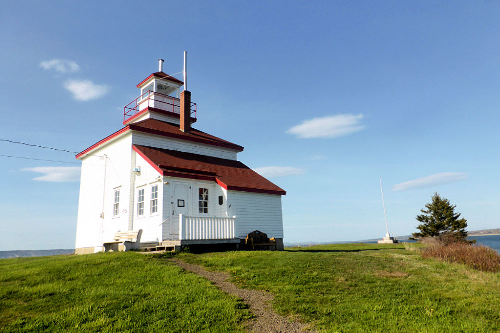
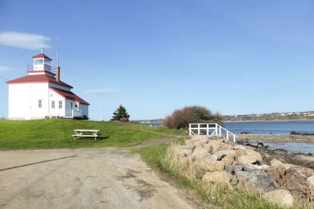
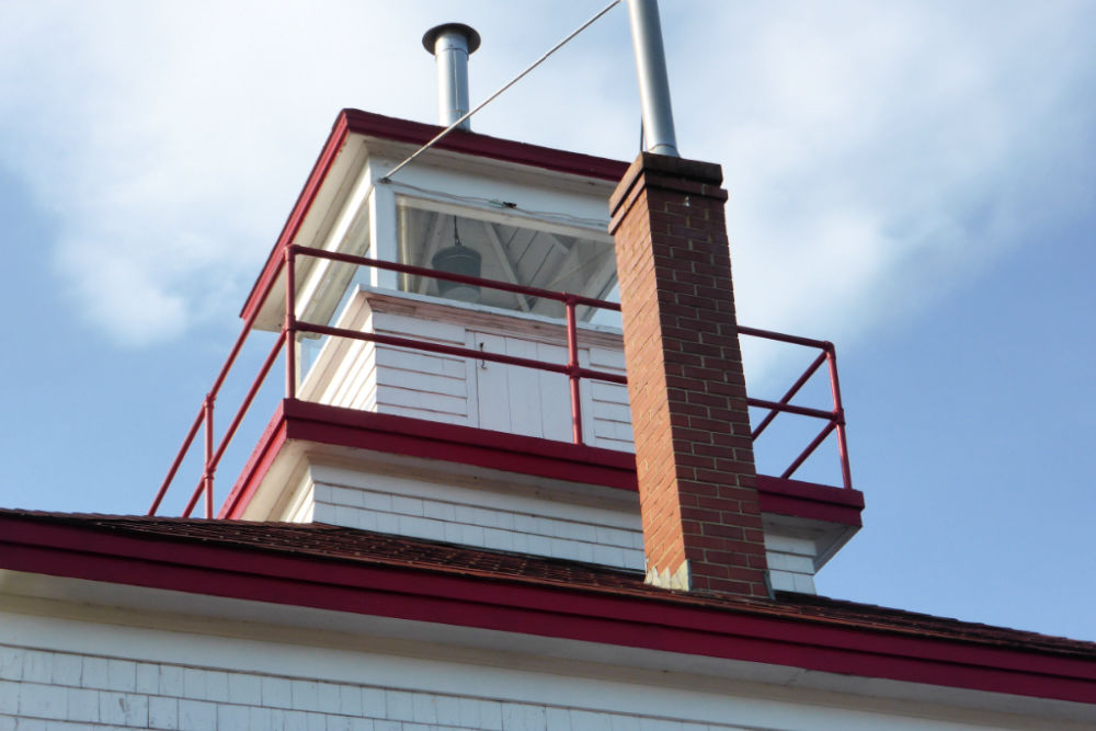
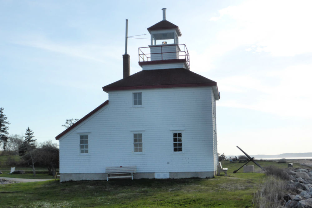
Called the “Greatest Little Lighthouse in Canada”, Gilbert’s Cove Lighthouse is only one of three of its kind left in Nova Scotia. Most lighthouses in Nova Scotia have a lighthouse tower and an attached or separate building that served as the lightkeeper’s house, but Gilbert’s Cove is unique in that the light sits on top of a square two-story lightkeeper’s house.
Built in 1904, there have only been two lightkeepers throughout the years of service of Gilbert’s Cove Lighthouse and they were both from the same family. The first lightkeeper was William Joseph Melanson who was born and raised in Gilbert’s Cove. He and his family lived in the lighthouse for over 50 years. When he was 75 years old, the lightkeeper’s position was officially turned over to his daughter who then held the position for another 22 years. For more information about the lightkeepers, click here.
The lighthouse has been inactive since 1975 after which time it became quite rundown and was vandalized. In 1982 the Gilbert Cove and District Historical Society took up the cause to save the lighthouse and leased the property from the provincial government indefinitely. With the efforts of the society, many volunteers, and some grant money, the lighthouse was restored and made into a small museum, tearoom, and gift shop and declared a Provincial Heritage Site in 1990.
Today, you can tour the lighthouse which houses archival displays with historical pictures and some marine artefacts, genealogy information, an active quilting room and local crafts. You can also climb up to the light for great views over the cove in St. Mary’s Bay, and the Digby Neck.
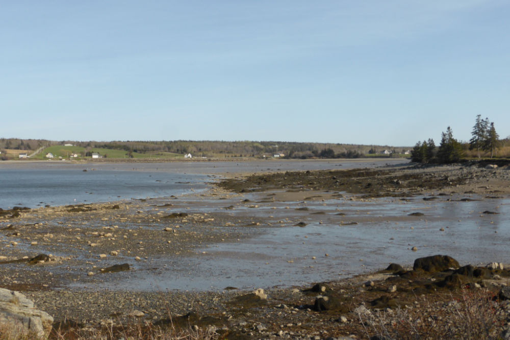
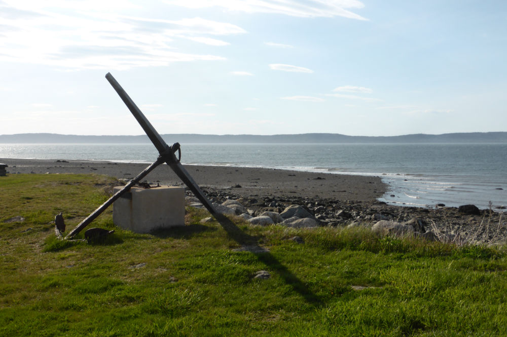
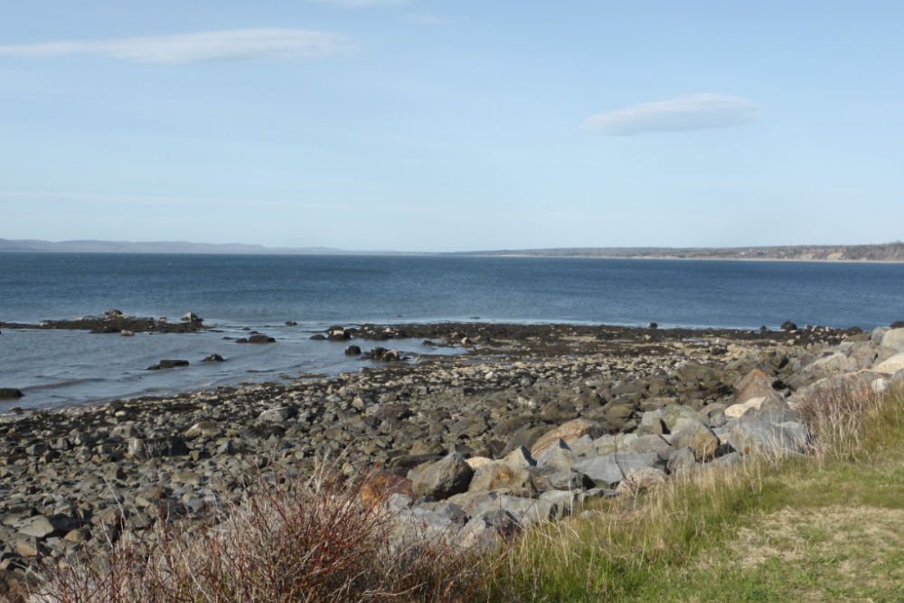
Although we weren’t able to visit inside the lighthouse on our recent visit, outside the lighthouse is really lovely and worth a visit even if you can’t visit inside. There is a pretty picnic area with tables and seashore access where you can walk along the shoreline for some beachcombing when the tide is out, or if you are brave, maybe even go for a little swim (though the water can be quite cold!). We saw many families out looking for shells and digging for clams on our visit. Or you could just find a nice spot on the grass to relax and listen to the ocean as the waves roll in.
For those particularly interested in this little lighthouse, they have a newsletter (found here) where you can read all about what’s happening, including any events, like their annual Lighthouse Family Picnic which showcases local musical talent, good food, and family fun.
OPENING HOURS AND ADMISSION PRICES
Gilbert’s Cove Lighthouse is open 1000 – 1600 Monday to Saturday; 1200 – 1600 Sunday from mid-June to late September. It is closed for the 2020 season due to Covid-19.
Admission is free but donations are welcome.
GETTING THERE AND PARKING
Gilbert’s Cove Lighthouse is located at 244 Lighthouse Road, Plympton, Nova Scotia, B0W 2R0.
The lighthouse is easily accessibly by car. It is situated 1 km off Hwy 101 about 25 km from Digby. Part of the road from the main highway is unpaved but it is well maintained.
There is a nice size parking lot next to the lighthouse that you can park in for free.
GILBERT’S COVE LIGHTHOUSE GALLERY
Images in the gallery are of the lighthouse and the surrounding area.
Click on the images to enlarge them, scroll through the gallery, or for more information.
QUICK FACTS
Height: Tower 10.9 m (36ft) | Light 12.2 m (40ft)
County: Digby
Body of Water: St. Mary’s Bay
Scenic Route: Evangeline Trail
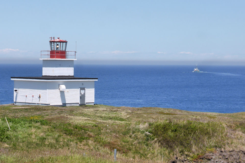
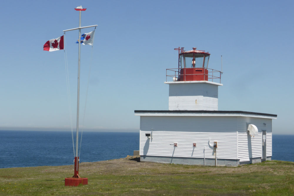
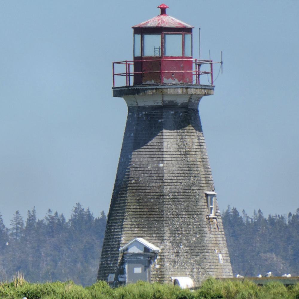
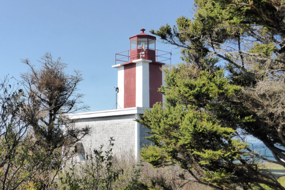
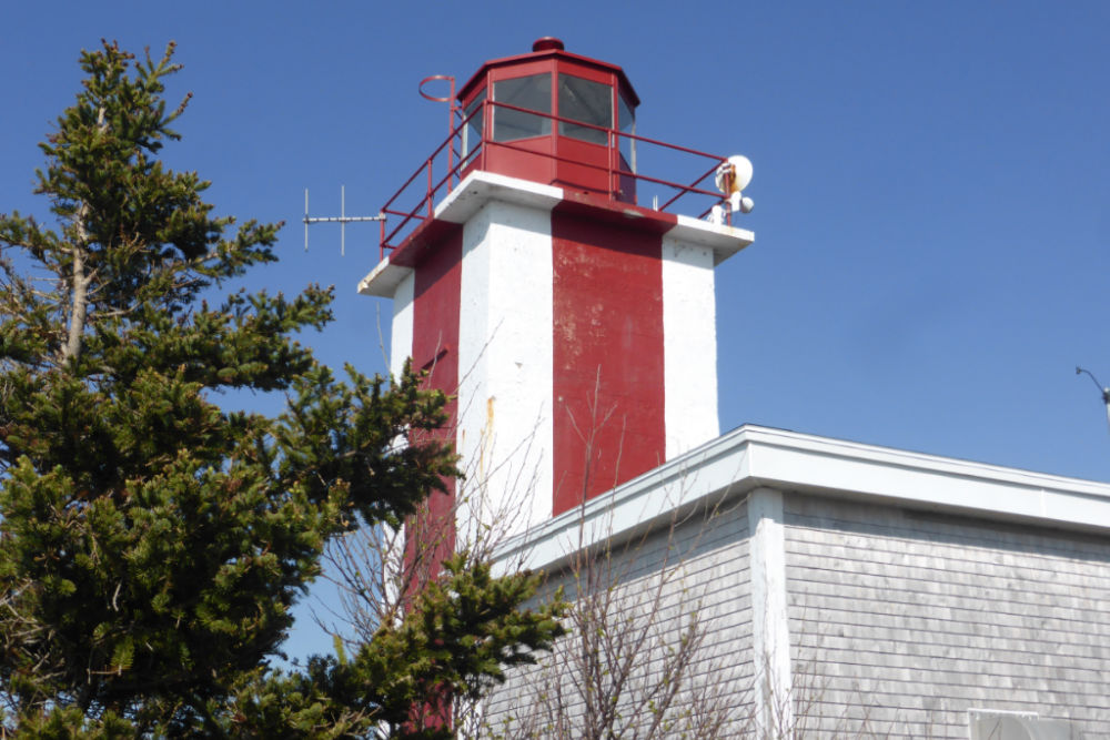
The original lighthouse on this site was established in 1901 when the Department of Marine announced, “A lighthouse was put in operation on January 12, 1901, on the north Point of Brier Island, to indicate the north entrance to Grand passage. The light is a fixed red light elevated 62 feet above high-water mark and should be visible for 8 miles from all points of approach by water. The illuminating apparatus is dioptric, of the seventh order. The lighthouse is a square, wooden building with sloping sides, painted white, surmounted by an octagonal iron lantern, painted red. It is 34 feet high from its base to the vane on the lantern. It was erected under contract by Mr. Frank H. Piper, of Westport, his price being $897.50.” Less than $900!
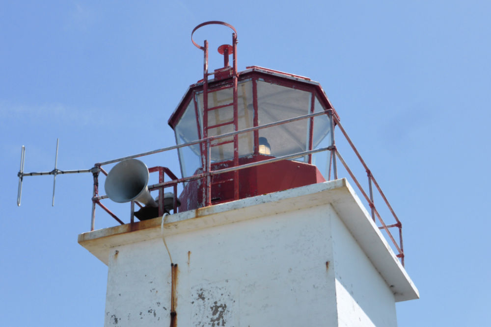
Today, the current squat c1965 lighthouse is just one of the lighthouses on Brier Island and is attached to a building that houses its fog signal. It is definitely a must to keep a lighthouse in this spot as this area sees many foggy days and there have been 57 shipwrecks in area’s history.
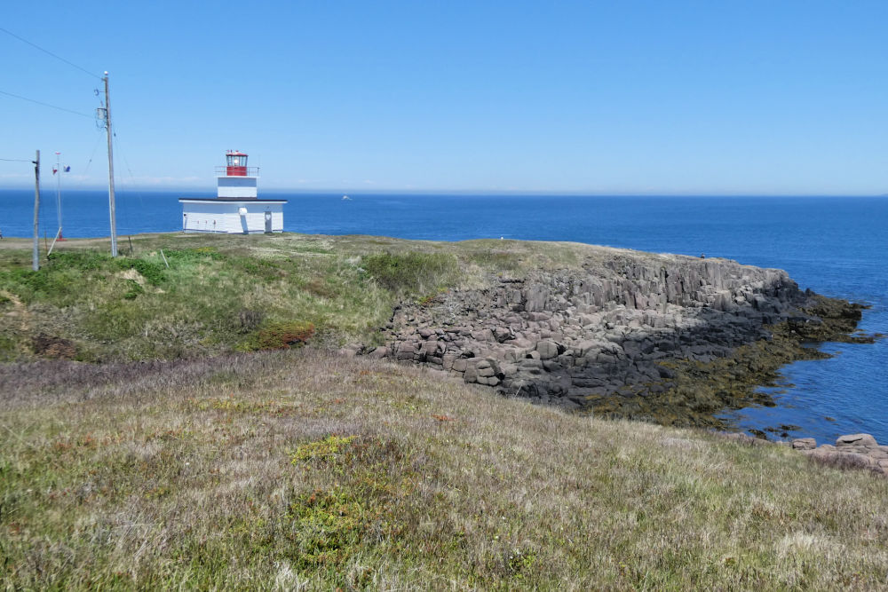
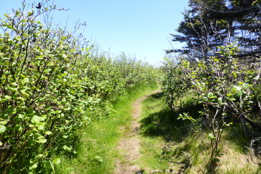
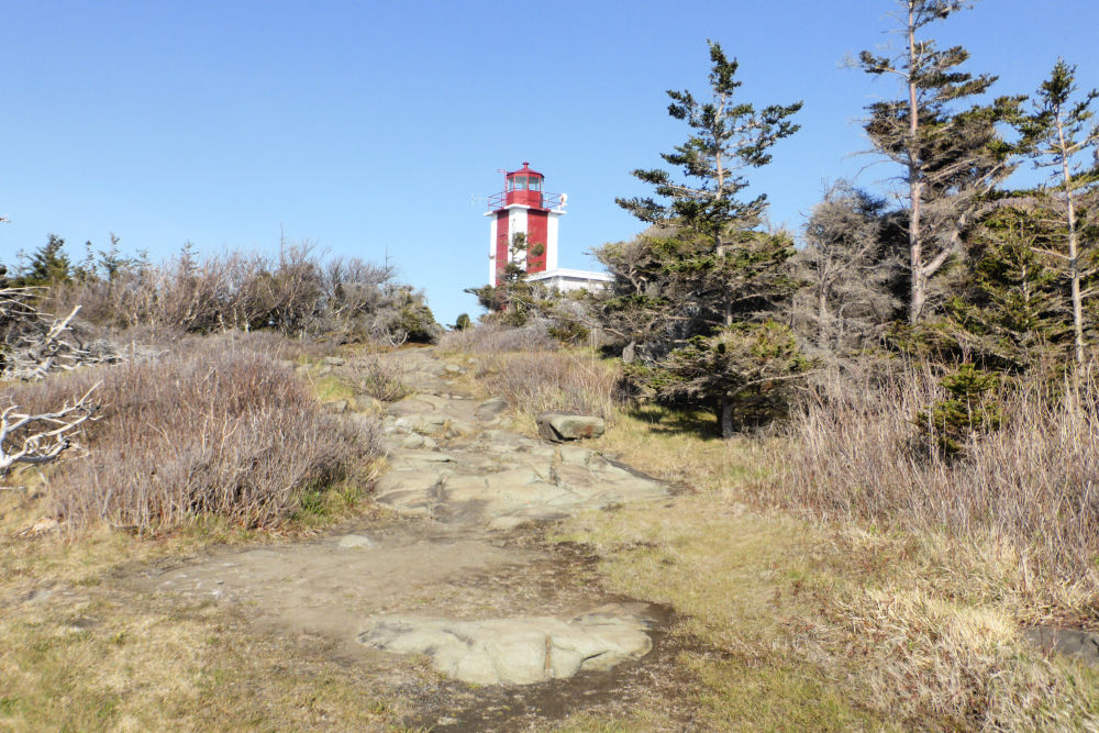
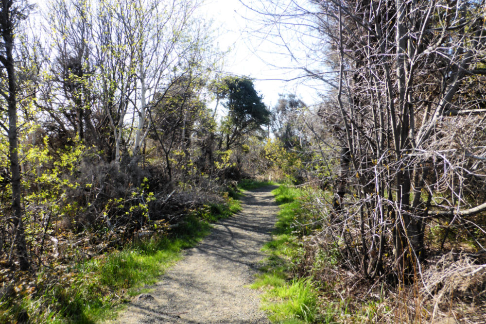
While you can’t tour the inside of this lighthouse, it makes a wonderful place to stop to walk along its coastal trail. About a 15-minute walk through the stunted pines to the open meadows on the western shore will let you pick up the coastal trail that will bring you to Seal Cove where, if you’ve timed your visit to coincide with low tide, you’re likely to see (and hear!) a party of grey and harbour seals basking on the rocks.
If you are more interested in birds than seals, you’re in luck! In the autumn the air here fills with flocks of hawks, songbirds, and seabirds as they prepare for their migration.
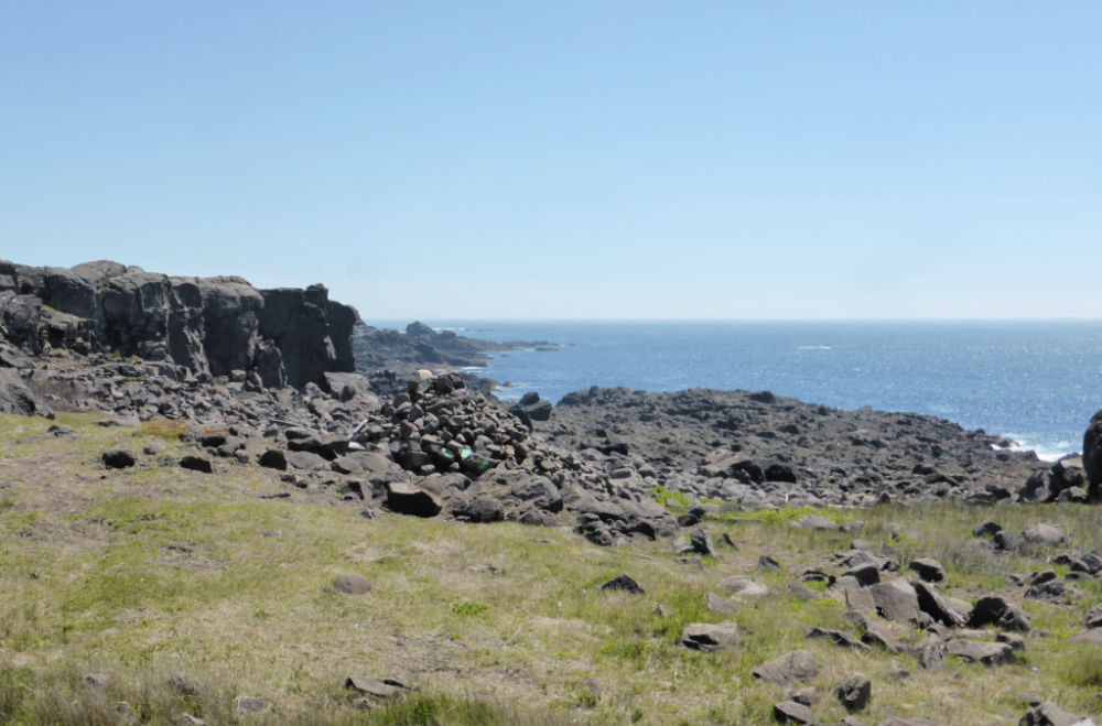
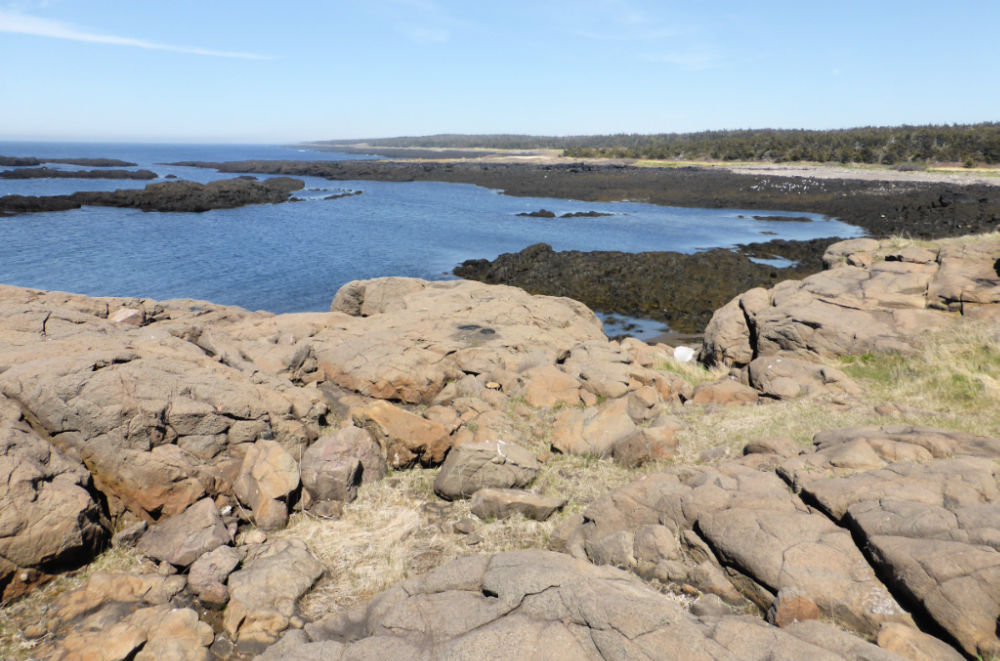
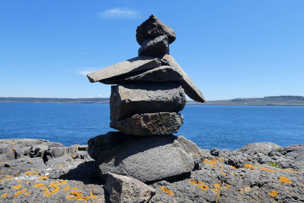
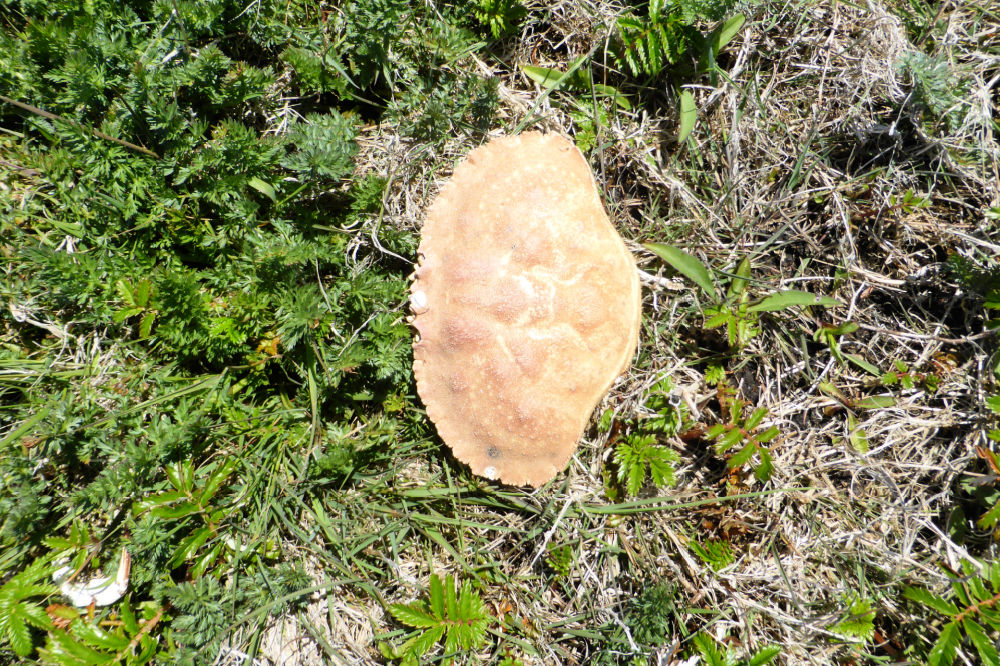
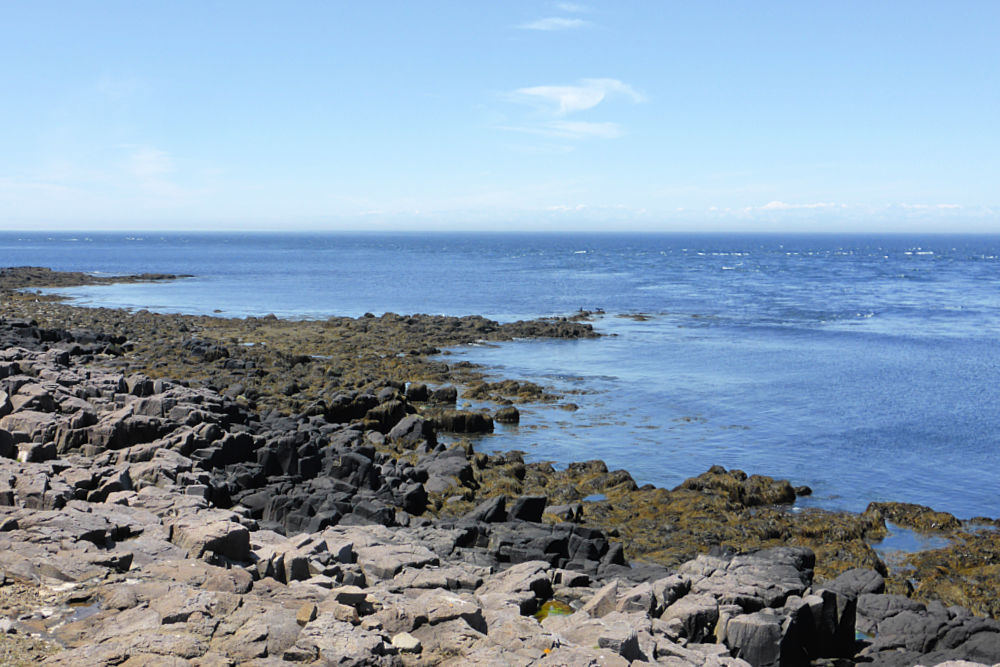
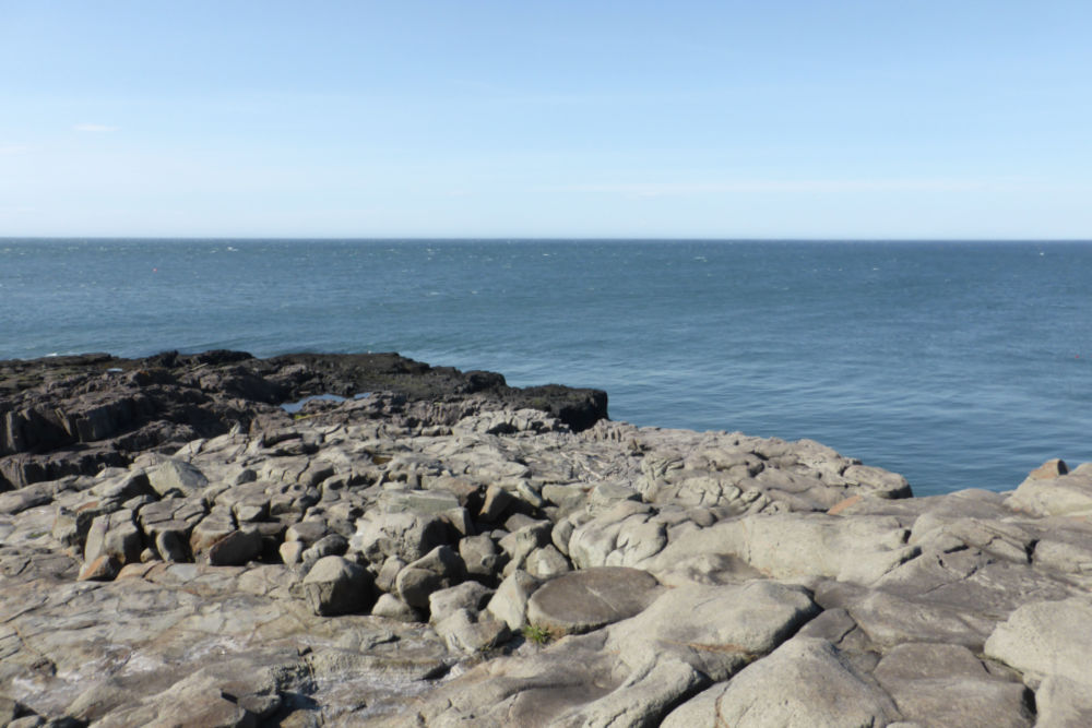
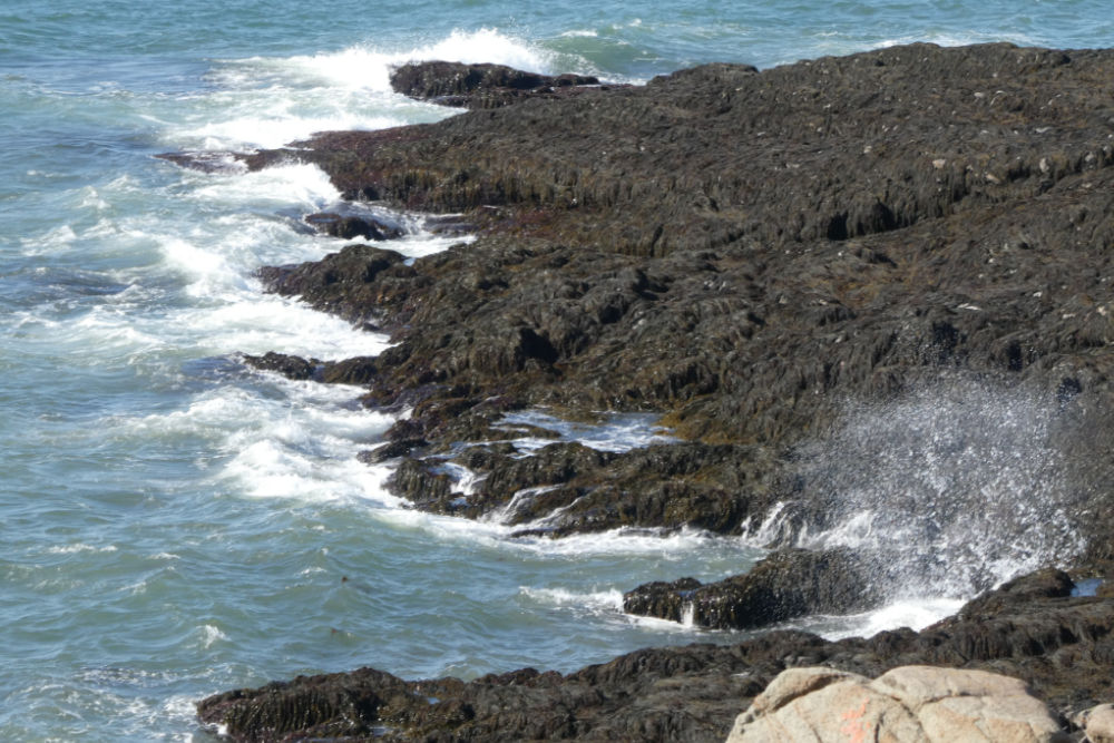
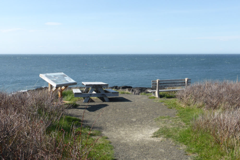
Or, if you’d like you can simply bring a picnic lunch and stroll around the rocks surrounding the lighthouse itself, as we did on our recent visit. Here you’ll find many empty crustacean shells from where the gulls have dropped them on the rocks to break them open or rock inukshuks left by others that have visited before you.
OPENING HOURS AND ADMISSION PRICES
The Grand Passage Lighthouse tower isn’t open to visitors but you may stroll around the site including walking along the coastal trail.
GETTING THERE AND PARKING
Grand Passage Lighthouse is located at 851 Water Street, Digby, Nova Scotia, B0V 1A0. To reach the lighthouse, turn right after disembarking the ferry and continue until the end of the road.
It is on the same site as a Canadian Coast Guard Search and Rescue station and is easily accessible by car. There is a small parking lot on-site where you can park for free.
GRAND PASSAGE LIGHTHOUSE GALLERY
Images in the gallery are of the lighthouse and the surrounding area.
Click on the images to enlarge them, scroll through the gallery, or for more information.
QUICK FACTS
Height: Tower 10.36 m (34ft) | Light 17.06 m (56ft)
County: Digby
Body of Water: Grand Passage
Scenic Route: Evangeline Trail
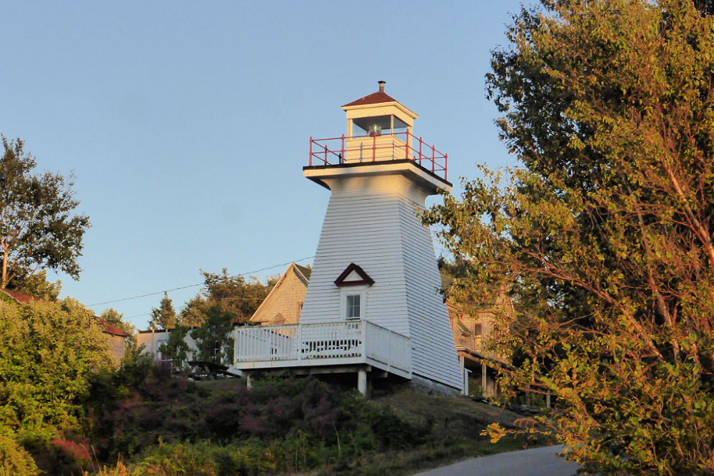
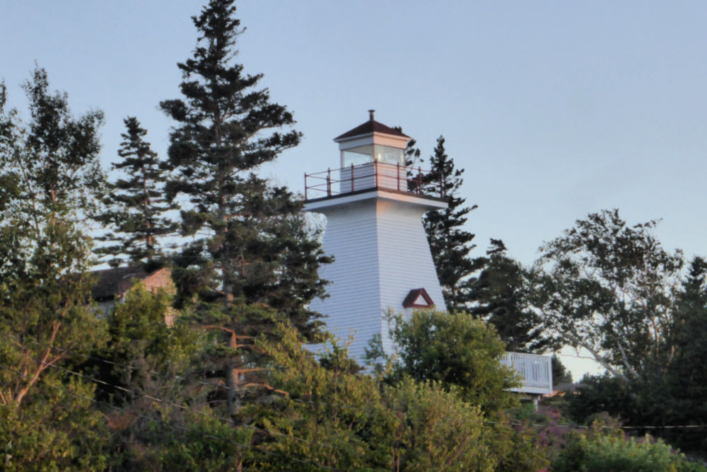
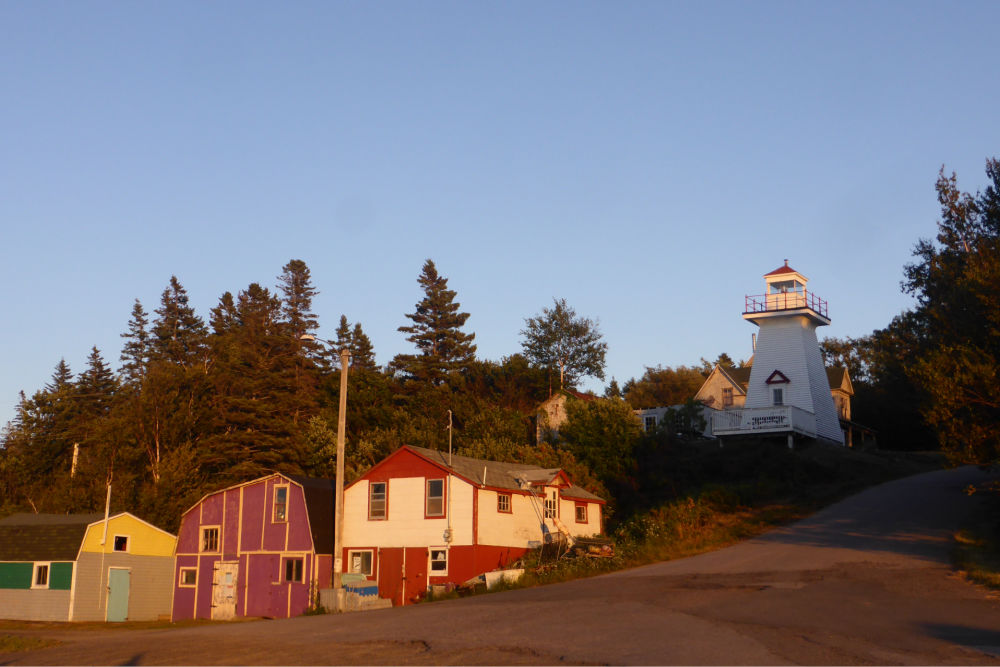
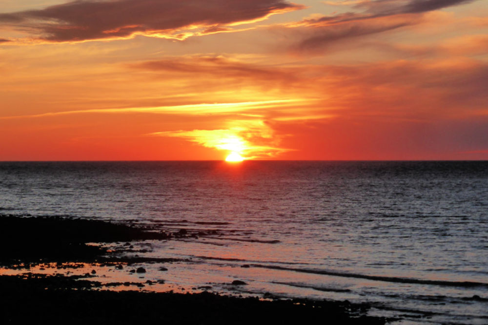
Hampton Lighthouse is a white square “pepper pot” tower with a red lantern standing guard over a working cove called “Chute Cove” and is one of our favourite places to watch a sunset over the Bay of Fundy!
The original lighthouse was built in 1911 and had a kerosene lamp that had to be lit each night at sunset and extinguished in the morning by the lightkeeper who lived nearby in the village. Supplies to keep the light going, such as oil, brooms, rags, etc. were brought in by ship just once a year! The light was then changed over to electric in the 1940s.
In 2001 the Hampton Lighthouse was passed over to a non-profit community group for just $1.00 through the federal government’s lighthouse transfer program. The Hampton Lighthouse and Historical Society is now responsible for keeping the light lit and maintenance, including the recent project of painting it from top to bottom and making repairs to the lantern room.
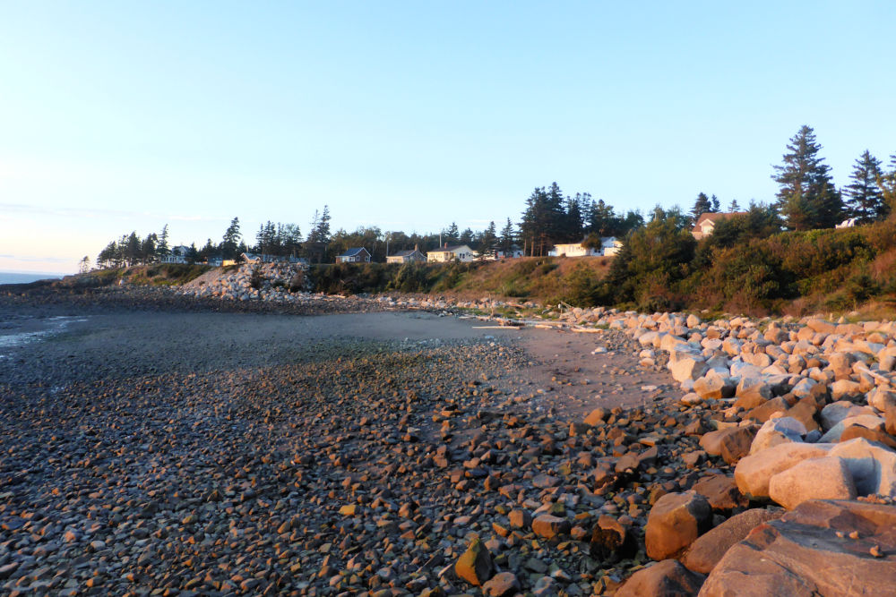
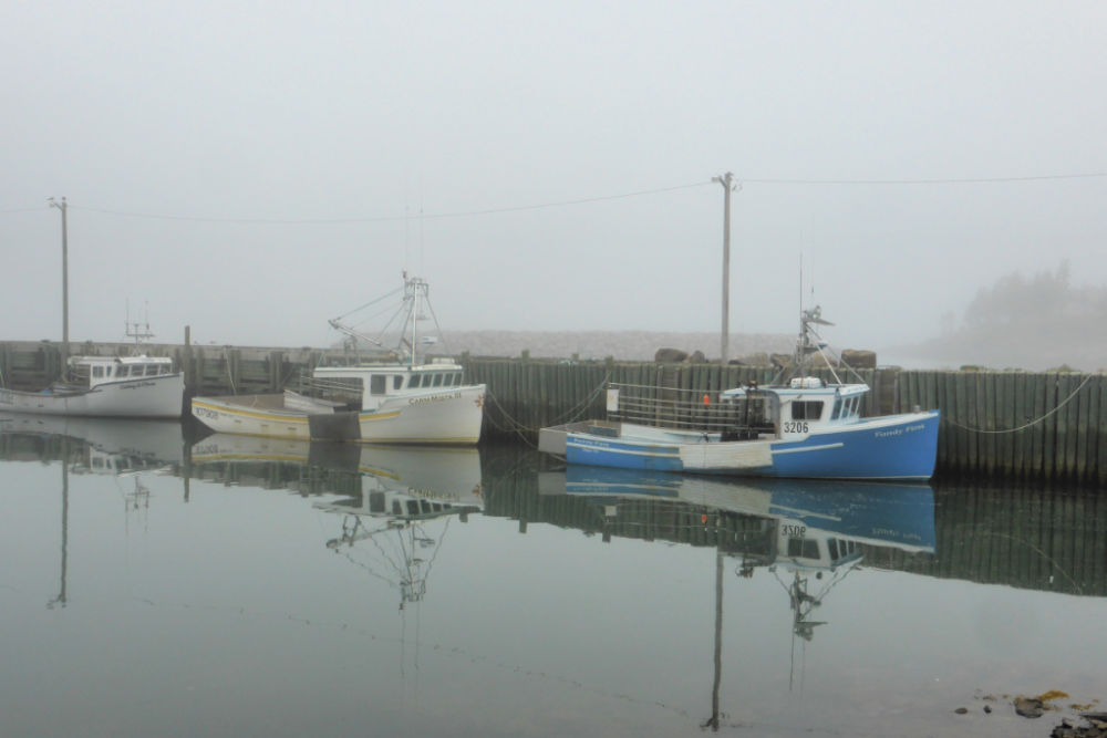
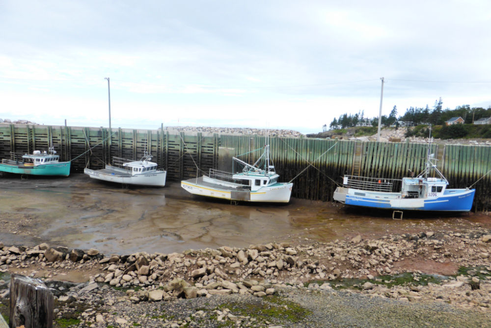
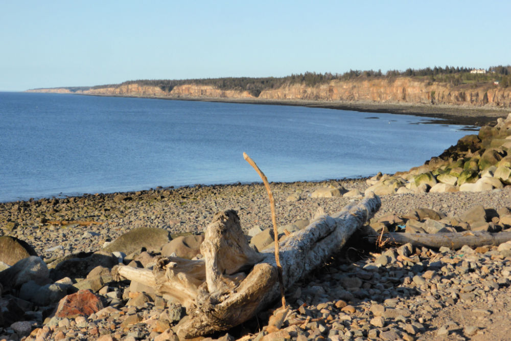
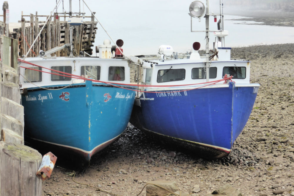
In addition to watching sunsets or taking a walk along the rocky beach just below the lighthouse, we also think this is a great place to come to see the impressive tidal changes of the Bay of Fundy. Just a very short walk from the lighthouse is the Hampton Wharf which is still a working wharf. At low tide, you can see the fishing boats sitting on the bottom of the harbour and at high tide, the boats are level with the wharf again (check out the photo gallery below to see what we mean)!
You can walk out to the end of part of the wharf to the breakwater and look back to see the lighthouse and the houses and cottages that dot the shoreline. Do be careful though when wandering around this area as part of the wharf is in poor condition and should be avoided (it is marked as such).
OPENING HOURS AND ADMISSION PRICES
The lighthouse tower is open on weekends and holidays from June through mid-September. It is closed for the 2020 season due to Covid-19.
GETTING THERE AND PARKING
Hampton Lighthouse is located at 66 Hampton Wharf Road, Bridgetown, Nova Scotia B0S 1L0.
You can access the lighthouse easily by car and there is a small parking lot just a short distance (about a 2-minute walk) away next to the wharf where you can park for free.
HAMPTON LIGHTHOUSE GALLERY
Images in the gallery are of the lighthouse and the surrounding area.
Click on the images to enlarge them, scroll through the gallery, or for more information.
QUICK FACTS
Height: Tower 10.05 m (33ft) | Light 21.03 m (69ft)
County: Annapolis
Body of Water: Bay of Fundy
Scenic Route: Evangeline Trail
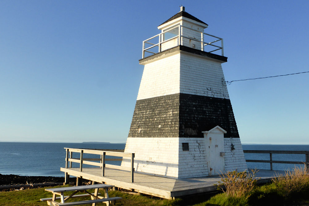
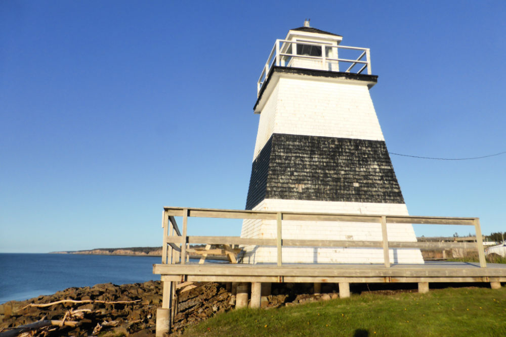
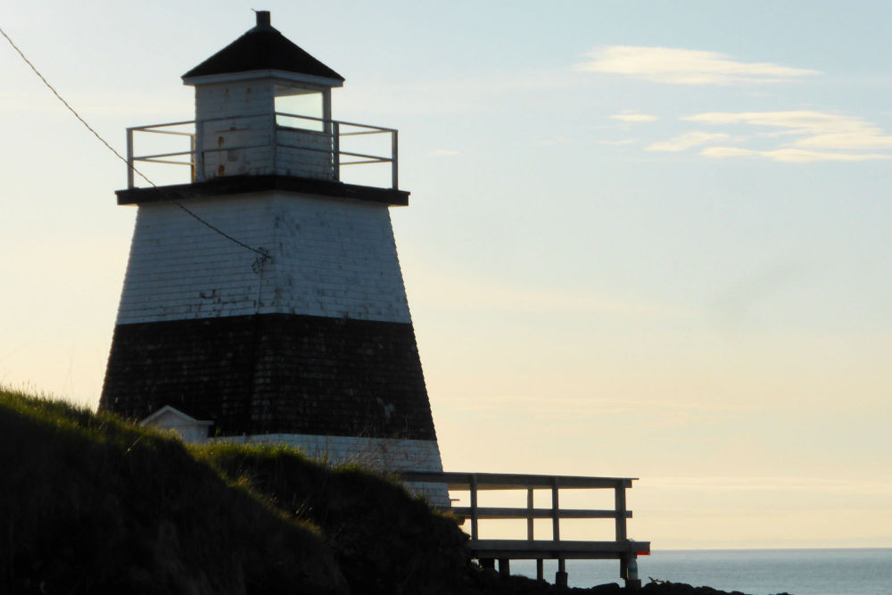
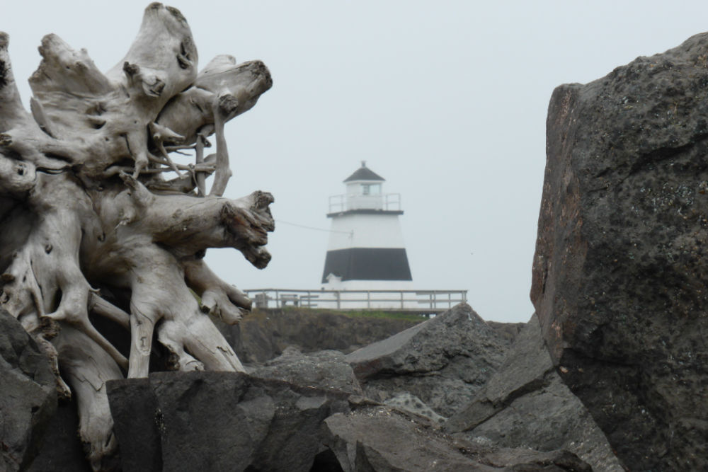
Margaretsville Lighthouse is one of the more unique lighthouses in this region in that its black stripe is the only daymark of this colour in Nova Scotia. It was built in 1859 when the residents of the thriving village decided a lighthouse was needed to navigation for the increasing number of vessels in the Bay. When it was erected it was amongst the first half dozen lighthouses along the Nova Scotia side of the Bay of Fundy.
The light was originally powered by kerosene lamp and according to the diary of one of the lightkeepers, it burned kerosene at the rate of seven gallons per month in the summer and twelve gallons per month in the winter. Its eight red lamps and their brass reflectors had to be cleaned and polished every day.
Stories also say that this lighthouse may have a ghostly inhabitant! Locals tell of a lightkeeper who would take his cap off each evening as he entered the lighthouse and, with a deep bow, would say, “Good evening, Dave”. It is believed the lightkeeper was addressing the apparition of a man who had jumped from the nearby wharf and whose body was brought to the lighthouse and kept overnight before he was buried in the cemetery in an unmarked grave.
Today the lighthouse still serves mariners on the Bay and is an important part of the Margaretsville waterfront and to the community’s residents. In 2013, the Friends of the Margaretsville Lighthouse Society was formed to see how the town could take over ownership of the lighthouse. In 2018, the Society signed a lease of the lighthouse from the Coast Guard and volunteers now help with the upkeep.
In addition to visiting the lighthouse, and perhaps having a picnic at one of the tables they have on-site, we recommend visiting the nearby wharf. This is another great place to check out the huge Bay of Fundy tides and there is a little shop on the wharf with some great local artwork. Or, there is also a waterfall on the beach that can be accessed at low tide that is a favourite with locals. For more information, click here.
OPENING HOURS AND ADMISSION PRICES
The Margaretsville Lighthouse tower isn’t open to visitors but you may stroll around the small site, a nearby wharf and waterfall at your leisure.
GETTING THERE AND PARKING
Margaretsville Lighthouse is located at 8 Lighthouse Road, Margaretsville, Nova Scotia, B0S 1N0.
This lighthouse can be a bit tricky to get to because Lighthouse Road is very narrow and almost looks like it is a driveway between some cottages.
To get there take Gordon Road off Seaman Street (Route 362) and then turn right onto Lighthouse Road and you’ll see the lighthouse in front of you.
Gordon Road is basically at the corner where Seaman Street (Route 362) makes a bend near the Margaretsville Community Hall.
There is an on-site free parking lot that can accommodate a few cars. If you find that it is full (which really isn’t likely unless there is an event going on) you can drive instead to the nearby wharf which has a few more parking spots.
MARGARETSVILLE LIGHTHOUSE GALLERY
Images in the gallery are of the lighthouse and the surrounding area.
Click on the images to enlarge them, scroll through the gallery, or for more information.
QUICK FACTS
Height: Tower 6.7 m (22ft) | Light 9.14 m (30ft)
County: Annapolis
Body of Water: Bay of Fundy
Scenic Route: Evangeline Trail
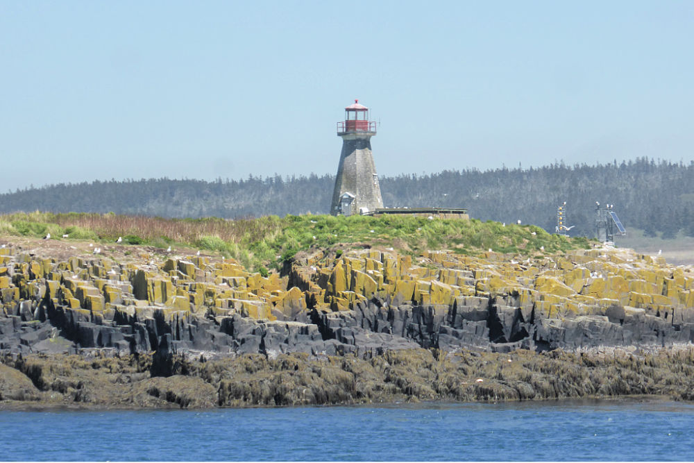
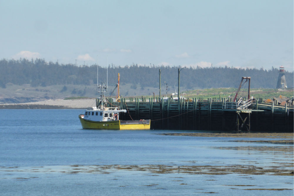
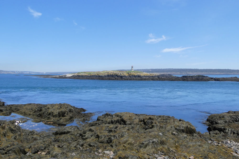
Sitting alone on an island in the middle of a channel with heavy rip tides, you’ll find the c1909 Peter’s Island Lighthouse. The current lighthouse is actually the second one on this site with the original lighthouse lit in 1850.
Because of its location, this lighthouse has proved challenging to maintain, especially the painting which deteriorates quickly. It was painted in 2007, but only two short years later, it looked like it was in the condition it was prior to 2007 and needed another paint job! This lighthouse has also had issues with mould discovered in 2014 when the light failed, and the Coast Guard couldn’t send their crews to fix it due to the mould.
A preservation group called “Save an Island Lighthouse” has been formed for preserving and restoring the Peter’s Island and Brier Island lighthouses and they definitely have their hands full maintaining Peter’s Island Lighthouse.
At the parking lot, you’ll find a couple of picnic tables and some handmade benches to relax and take some photos of the lighthouse. The stones along the shore are in columns reminiscent of the Giant’s Causeway in Northern Ireland and you can watch the seabirds riding the swirling currents.
Also, near the parking lot, is a monument to Joshua Slocum and a short walking trail named for him. He grew up on Brier Island and became the first person to sail alone around the world in 1898 on a 37’ gaff-rigged oyster sloop named Spray.
OPENING HOURS AND ADMISSION PRICES
The Peter’s Island Lighthouse tower isn’t open to visitors though the site is open if you have a boat to access it.
GETTING THERE AND PARKING
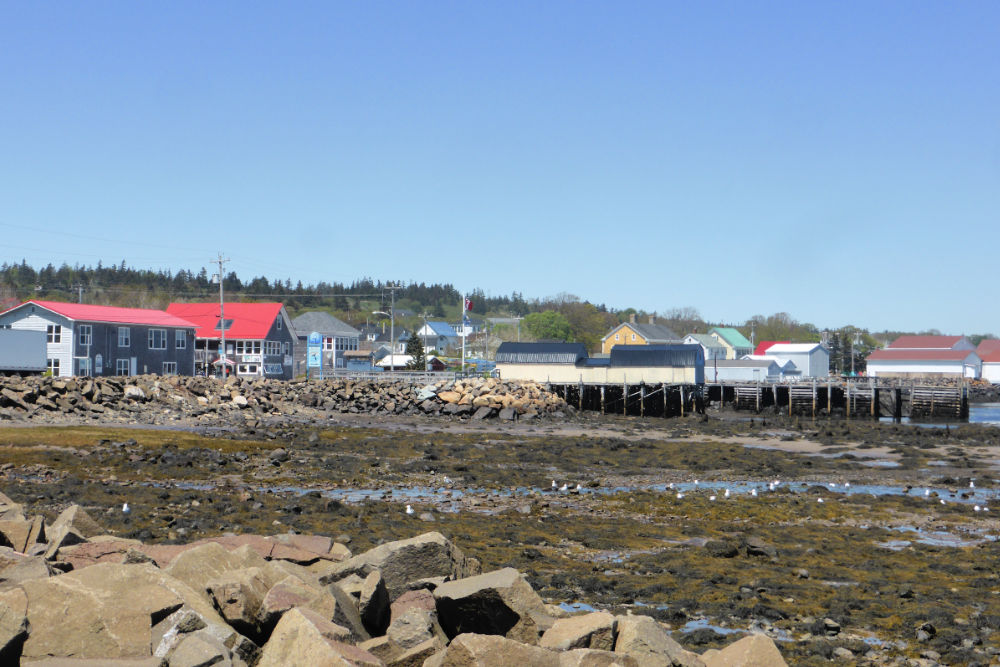
Peter’s Island Lighthouse is located on an island just off Westport, the main town of Brier Island.
You can’t access the lighthouse site itself (unless you have a boat) but there is a viewing point that is easily accessible by car.
To get to the viewing point turn left on to Water Street when you disembark the ferry and follow the road a few hundred metres to the end where you’ll find a small parking area.
PETER’S ISLAND LIGHTHOUSE GALLERY
Images in the gallery are of the lighthouse and the surrounding area.
Click on the images to enlarge them, scroll through the gallery, or for more information.
QUICK FACTS
Height: Tower 13.4 m (44ft) / Light 19.8 m (62ft)
County: Digby
Body of Water: Grand Passage
Scenic Route: Evangeline Trail
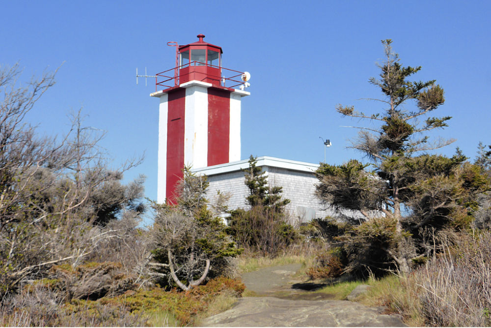
The current Point Prim Lighthouse is the fourth in a line of lighthouses built at Point Prim since 1804. And a lighthouse is needed here! Between 1850 to the 1920s there have been about 15 shipwrecks recorded in the Point Prim area.
The first light at Point Prim consisted of a simple bonfire and a musket shot as a warning signal. By 1817 though an official lighthouse was constructed and was known then as the ‘Fundy Light’. This lighthouse had a large whale oil lamp that was used as the beacon and a gun on a swivel was used as the warning signal.
In 1873 the second light was destroyed by fire and a new lighthouse was built with a lightkeeper’s residence attached. This lighthouse was in operation until 1964 when it was demolished and replaced with the current lighthouse that has an electronic light and foghorn.
Point Prim Lighthouse is located at the mouth of the Digby Gut, which connects the Bay of Fundy with the Annapolis Basin. From here you can take in the views of the cliffs on the opposite side of the channel including the uninhabited coastline between Victoria Beach and Delaps Cove. The view is so good and easy to get to that Digby fishermen often drive here to check the weather on the bay.
Around the lighthouse is a small public park with walking trails and information panels about the history of the lighthouse, shipwrecks, and the natural history of Point Prim including information about the geology, the shoreline, and tidal pools.
There are also several benches and a couple of picnic tables near the lighthouse and out along the walking trail. We highly recommend trying to be here at sunset for dinner by the sea while you watch the sun drop directly into the Bay of Fundy. It’s stunning!
This is one of my personal favourite lighthouses in Nova Scotia (at least so far!) mainly due to its setting. It was such a delight to walk through the short, wooded path from the parking lot and then have the path open up before us to reveal the pretty little lighthouse. I’m sure we’ll be returning to this lighthouse again to spend some quiet moments enjoying the stunning views, looking for whales and porpoises, or taking a walk on the scenic coastal trail.
OPENING HOURS AND ADMISSION
The Point Prim Lighthouse tower isn’t open to visitors but the grounds around the lighthouse, including the short walking trails, make this lighthouse worth a visit.
GETTING THERE AND PARKING
Point Prim Lighthouse is located at 1417 Lighthouse Road, Digby, Nova Scotia, B0V 1A0. It is only 10 minutes from Digby at the far northern end of Lighthouse Road.
It is easily accessible by car and there is a small parking lot on-site where you can park for free.
POINT PRIM LIGHTHOUSE GALLERY
Images in the gallery are of the lighthouse and the surrounding area.
Click on the images to enlarge them, scroll through the gallery, or for more information.
QUICK FACTS
Height: Tower 7.62 m (25ft) / Light 24.38 m (80ft)
County: Digby
Body of Water: Bay of Fundy
Scenic Route: Evangeline Trail
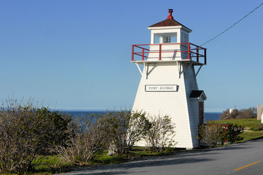
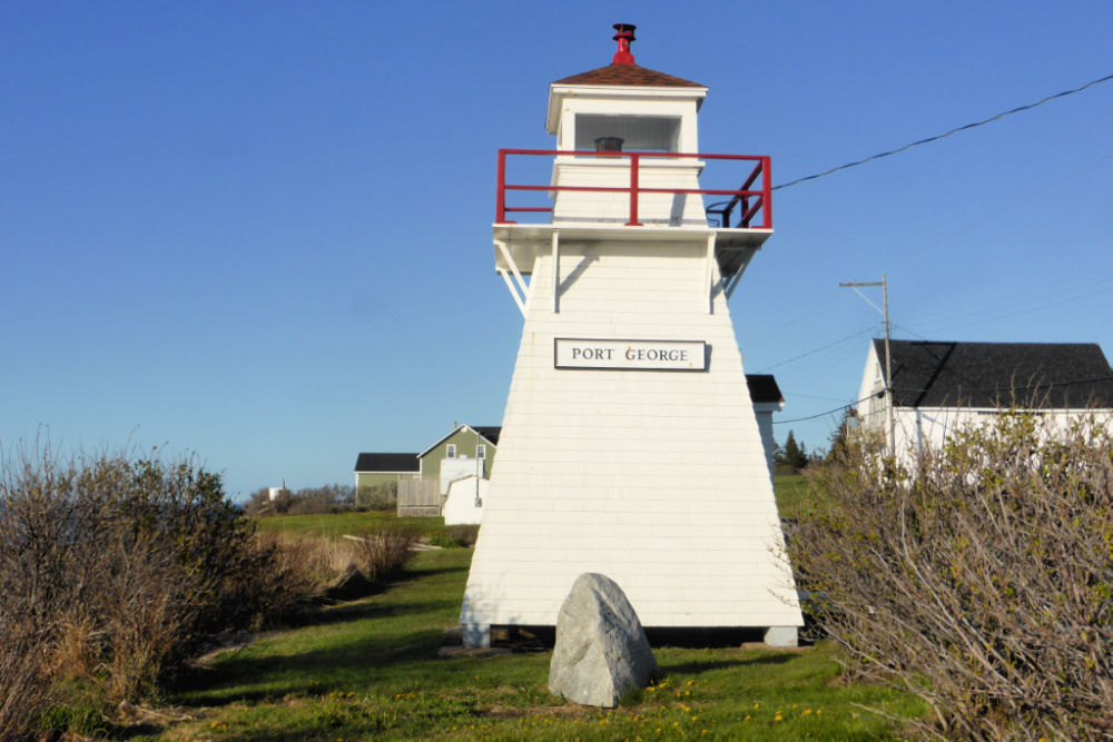
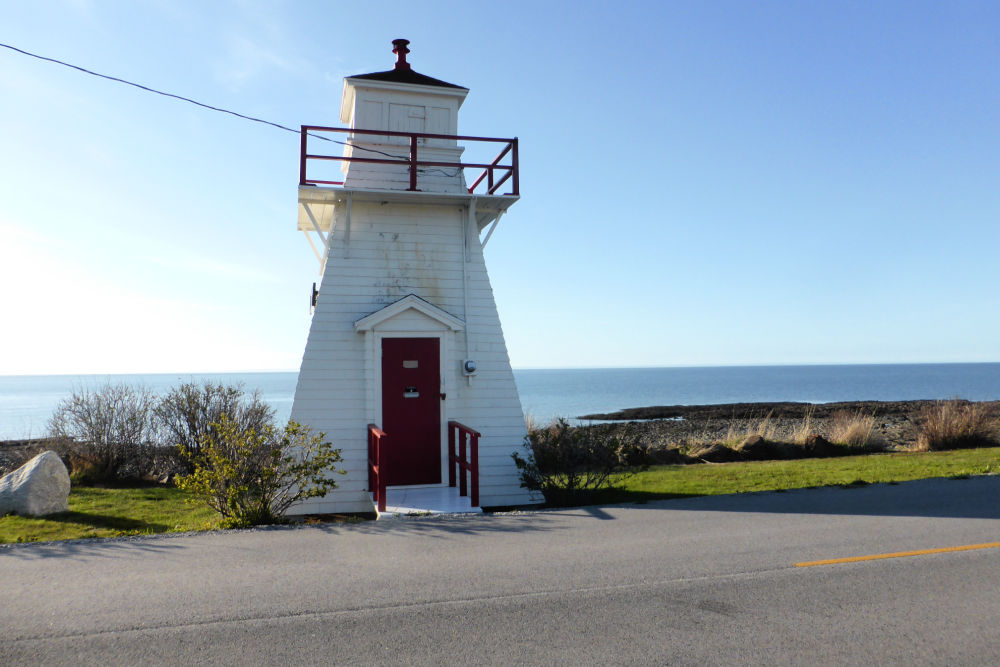
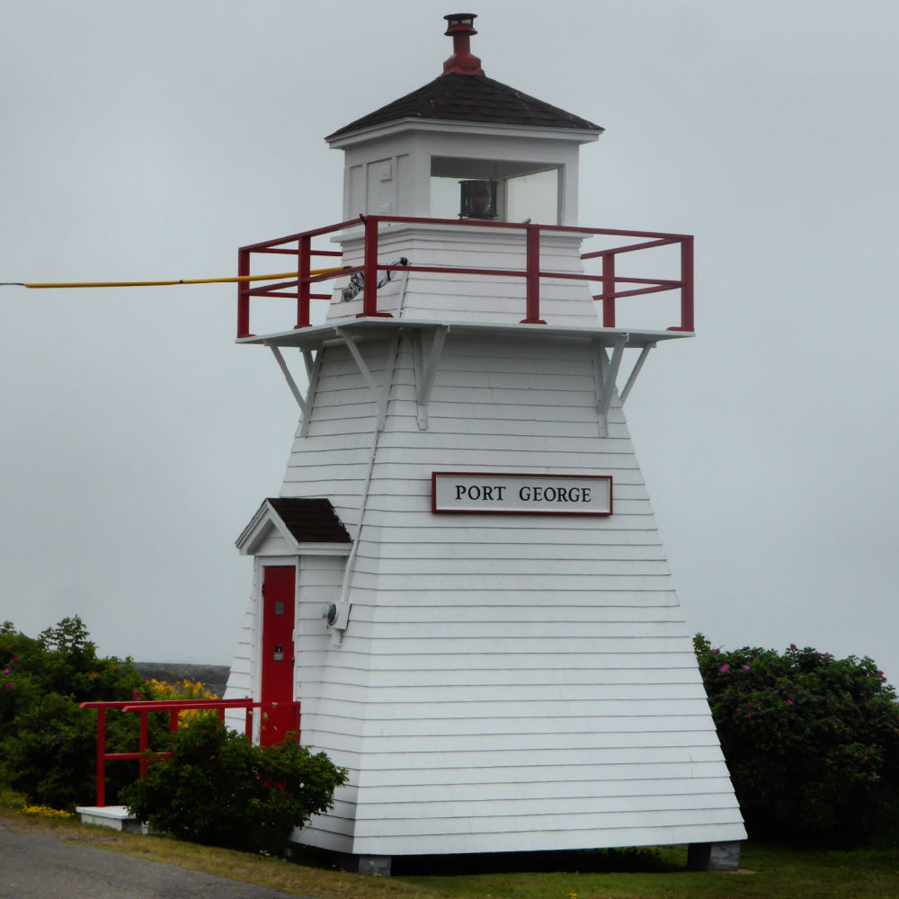
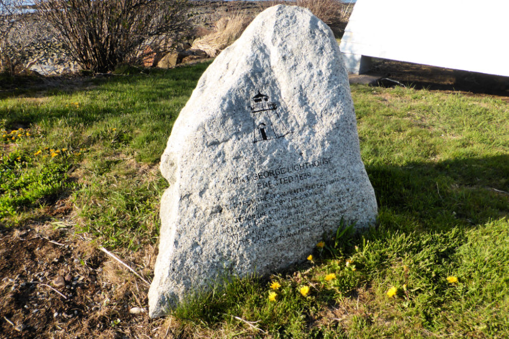
Ever since the first wharf was built in Port George in the 1880s there has been a light to guide mariners. The first light was a temporary light that was a “pole light” which was a kerosene lamp hung on a pole near the wharf. However, it wasn’t long before the first “real” lighthouse was built in 1889 when the East wharf was built. The little lighthouse was positioned at the end of the wharf and the fixed red light was lit by kerosene. Each evening the lightkeeper would clean the shade, trim the wick, and light the lamp, and then he’d return in the morning to blow it out.
During a storm in the 1930s, the lighthouse was moved by a group of local men to rescue it when the remains of the deteriorating wharf it was on were destroyed. It was moved to its current location on the side of the Shore Road.
In 1997, the Port George District Lighthouse Society was formed to help save the lighthouse when it was declared to be “surplus” to the needs of the Department of Fisheries and Oceans. In 2002, the ownership was transferred to the society and it is still the focal point of the community and local residents donate their time to maintain the lighthouse by mowing the lawn and painting the tower when needed.
“People are just drawn to it. There’s just something about a lighthouse,” said John MacDonald, president of the lighthouse committee in 2016. “If you’re not from Nova Scotia, not from the Maritimes, one of the things visitors want to see are really cool, old lighthouses – and Port George is an ideal one. You don’t see those old, ancient lighthouses everywhere now.”
Port George Lighthouse is found on one of the only stretches of road where you can drive right along the Bay of Fundy coast, so in addition to visiting the lighthouse, we’d recommend taking this lovely detour if you are driving through the Annapolis Valley.
This is one of the first lighthouses I can remember visiting in Nova Scotia (even before the famous Peggy’s Cove!) because my great-aunt and uncle lived nearby when I was growing up and we visited almost every summer. I loved climbing around on the rocks, checking out all the critters in the tidepools, and savouring the smell of the salty sea air and you can still do this along this stretch of shoreline. Do be mindful of the incoming tide though – it can be faster than you’d expect, and you don’t want to find yourself stranded on a rock surrounded by water!
OPENING HOURS AND ADMISSION PRICES
The Port George Lighthouse tower isn’t open to visitors but you may stroll around the site, especially on the rocky shore that is directly behind the lighthouse.
GETTING THERE AND PARKING
Port George Lighthouse is located on Shore Road East, Port George, Nova Scotia, B0S 1P0.
There isn’t a parking lot at the lighthouse, but you can pull over on the side of the road if you’d like to get out for a few quick photos as the road isn’t very busy. Do be careful that you don’t drive on anyone’s lawn or block their driveway.
If you’d like to stay a little longer, especially to walk along the shore, you could park nearby at Cottage Grove Provincial Park. This little park has quite a few parking spaces along with some picnic tables and almost always has a few cars parked to watch the sunset in the evening.
It’s about a 20-minute walk to the lighthouse from the provincial park but the walk is enjoyable, especially if you walk along the big rocks along the shore (although that will add a little to your walking time).
PORT GEORGE LIGHTHOUSE GALLERY
Images in the gallery are of the lighthouse and the surrounding area.
Click on the images to enlarge them, scroll through the gallery, or for more information.
QUICK FACTS
Height: Tower 7.5 m (25ft)
County: Annapolis
Body of Water: Bay of Fundy
Scenic Route: Evangeline Trail
There are many other lighthouses in the Bay of Fundy and Annapolis Valley region that you can visit, either for a tour or at least for a photo and to walk around the grounds. Some lighthouses are more remote than others and may require a hike to access them.
As we explore each of these lighthouses, we’ll add this information to the article to help you discover these wonderful pieces of Nova Scotia’s history.
In the meantime, the other lighthouses in this region are:
- Apple River
- Bass River
- Bear River (Winchester Point)
- Black Rock
- Boars Head
- Bordens Wharf
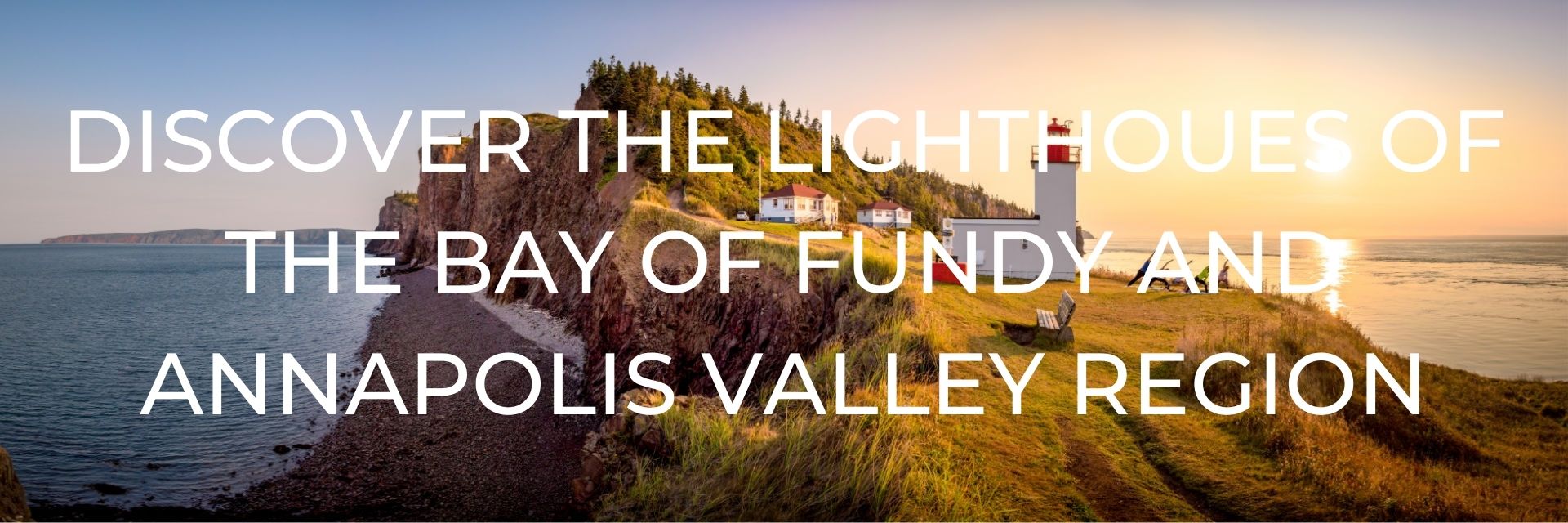
- Cape d’Or (the lighthouse is the header image of this article)
- Cape Sharp
- Five Islands
- Horton Bluff
- Parrsboro
- Port Greville
- Schafner Point
- Spencers Island
- Victoria Beach
- Walton Harbour
RESOURCES | PLAN YOUR TRIP TO NOVA SCOTIA
- Fodor’s Travel: Nova Scotia & Atlantic Canada
- Frommer’s Easy Guide to Prince Edward Island, Nova Scotia, and New Brunswick
- Moon Atlantic Canada: Nova Scotia, New Brunswick, Prince Edward Island, Newfoundland & Labrador
- Lonely Planet: Nova Scotia, New Brunswick and Prince Edward Island
- Nova Scotia Book of Everything
- Bradt: Nova Scotia – This book is the most comprehensive and what I consider to be the very best Nova Scotia guidebook.
Some of the links in the post above are affiliate links. This means if you click on the link and purchase the item, we will receive an affiliate commission but this does not affect the price to you. Please read our full disclosure policy here.

